
My journey up Scenic Highway 395 ends at Susanville, as I turn west on Highway 36 to pick up the Tracker at the bike trailhead on the way to visit another of our National Parks, Lassen Volcanic. I have read that the road through the park and over the pass is still closed due to snow, but it is possible to enter into the park a few miles from both the north and the south entrance (think of the letter “C”) to see some of the geothermal activity, as well as the historical impact.
The Kohm Yah-mah-nee Visitor Center on the south end is open, and it is possible to hike one mile in to see the Sulfur Works, while the north end is open 10 miles in to the Devastated Area, site of the 1915 eruption. So I decide it is worth the detour to see the park, albeit with limited access.
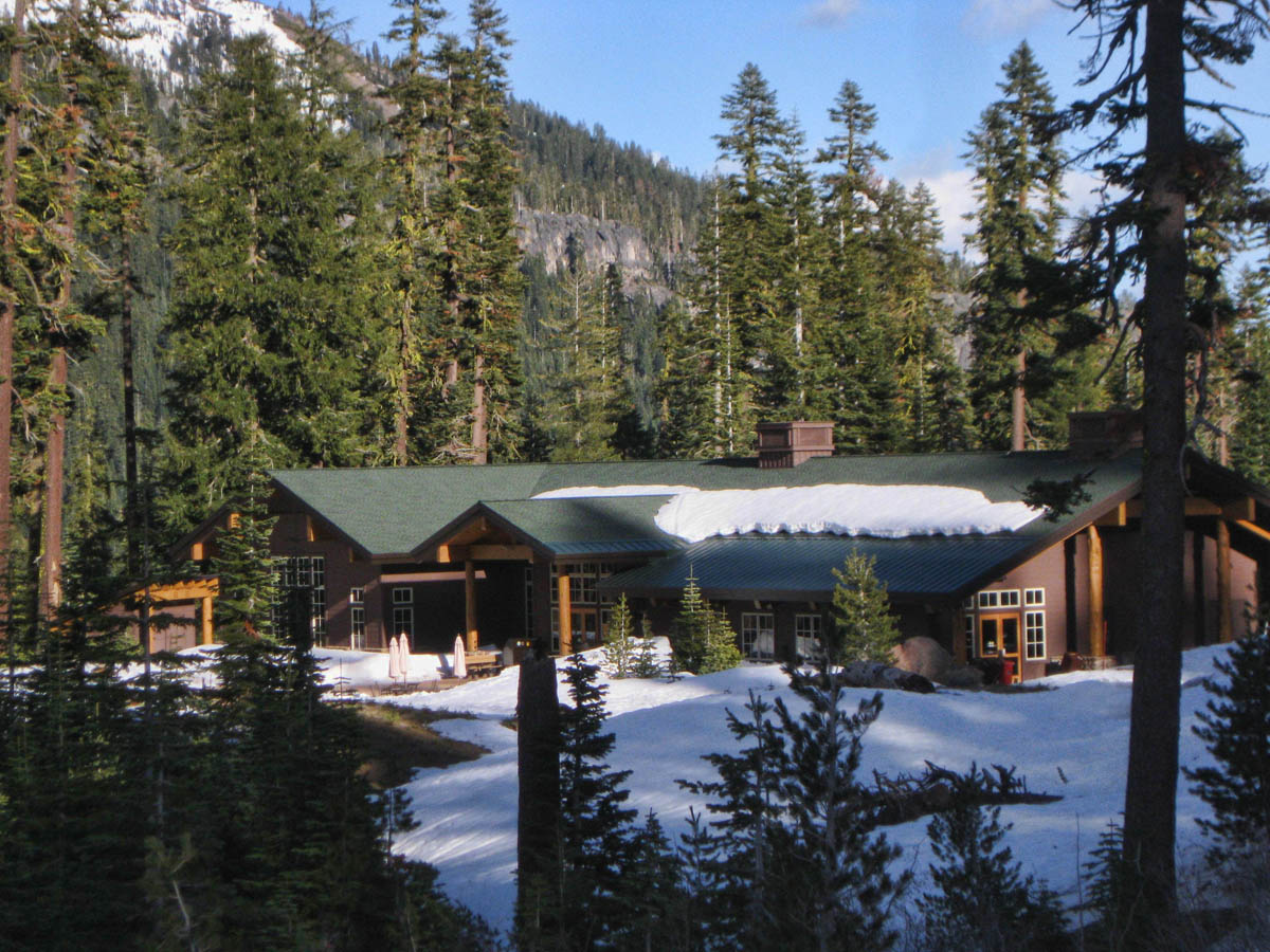
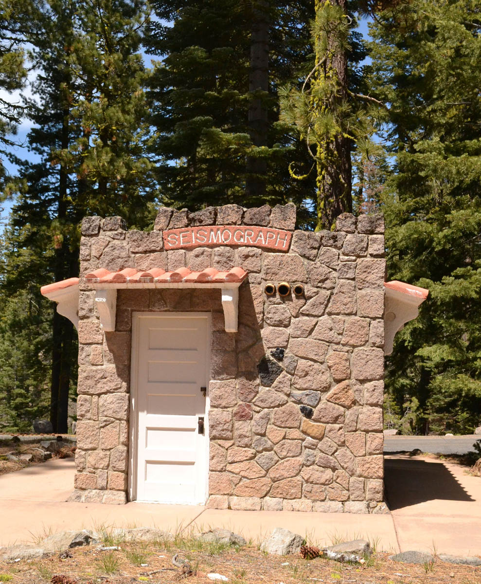
The Kohm Yah-mah-nee Visitor Center
Dry camping in the Visitor Center parking lot
I am running behind schedule due to my morning on the Bizz Johnson trail back in Susanville. I don’t arrive at the Kohm Yah-mah-nee Visitor Center until 4:00pm, but I know I still have at least four hours of daylight left, if I can’t find a place to overnight in the park. I am relieved when the ranger tells me that they allow dry camping in the Visitor’s Center parking lot for only ten dollars. This is great news, to stop at the Visitor’s Center to find information on where I can park, only to learn I have already parked. 😉
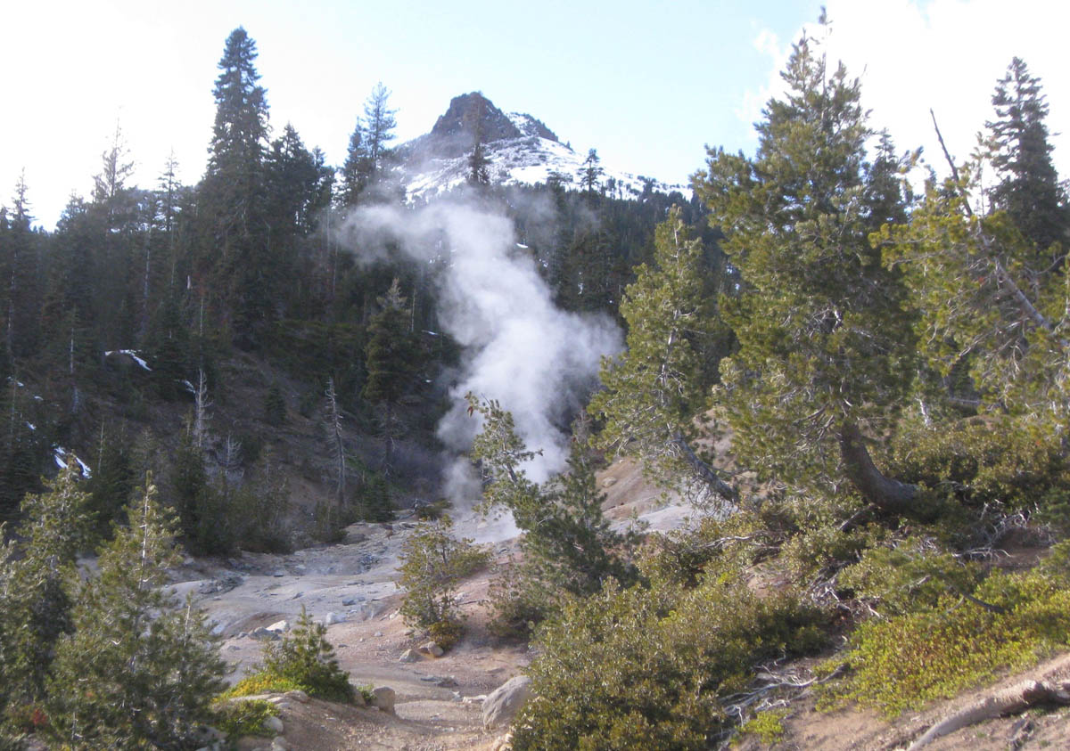
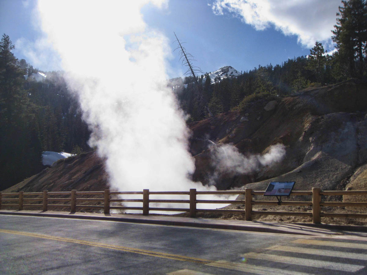
The Ranger gives me lots of information, and tells me I have plenty of light left to make the one mile hike up to Sulfur Works, an area of fumaroles and hot steaming mud pits.

Before the Visitor Center closes, the Ranger also gives me a map to reach the northern end of the park. He tells me this is the most photogenic angle where most photographs of Lassen Peak are made, so I will get up with the sun tomorrow and drive around to the northern entrance.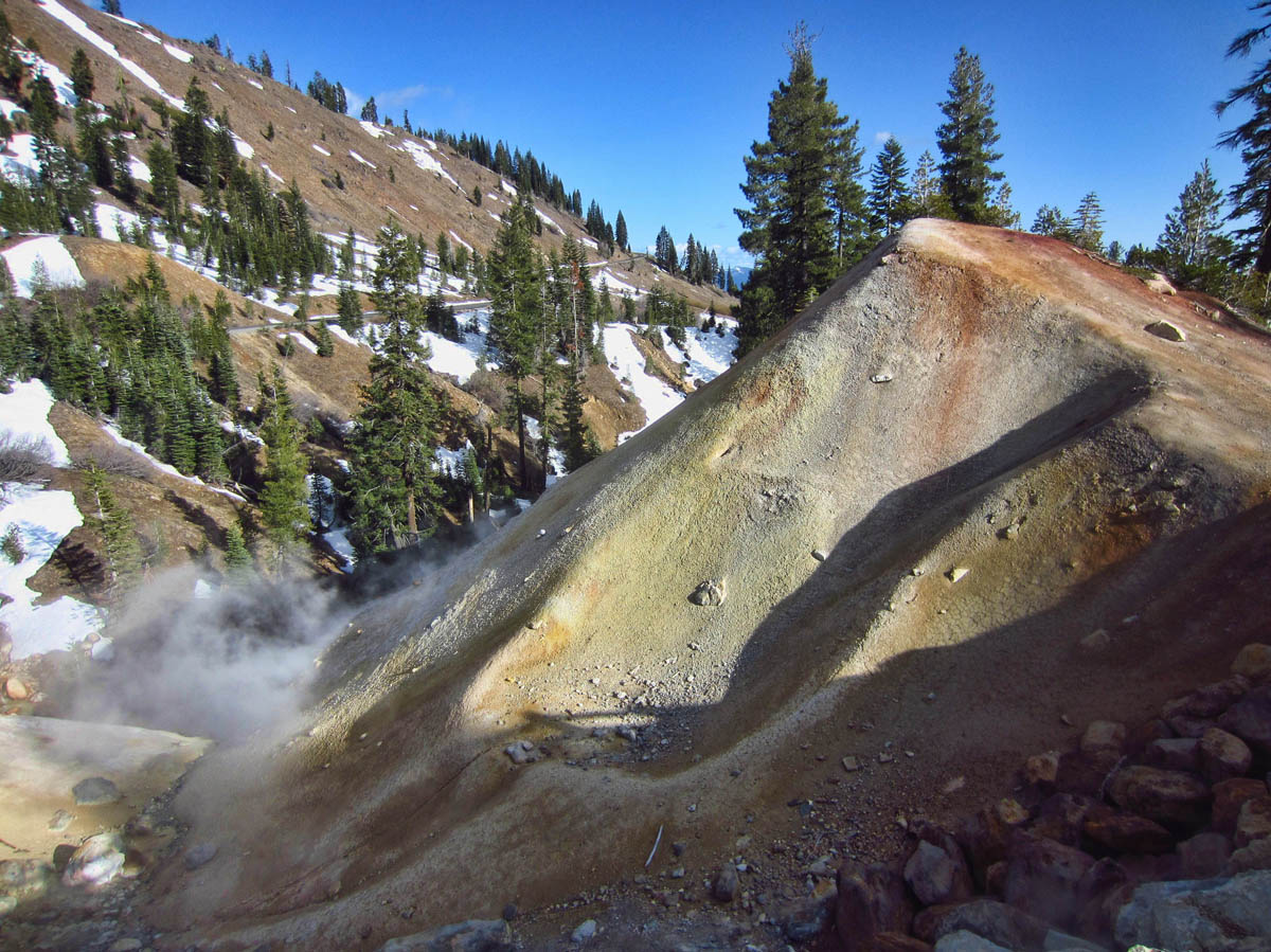
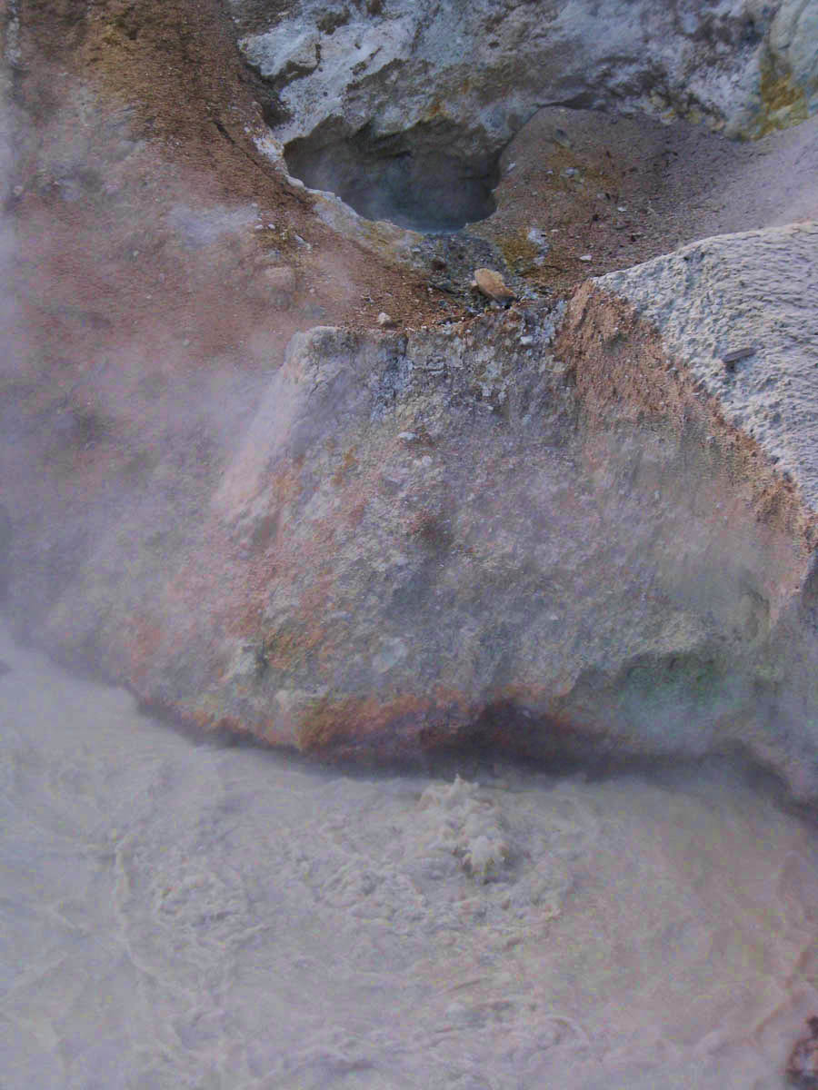
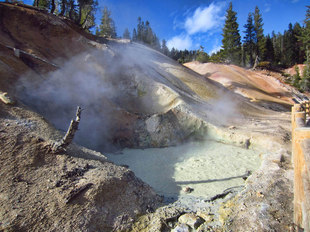
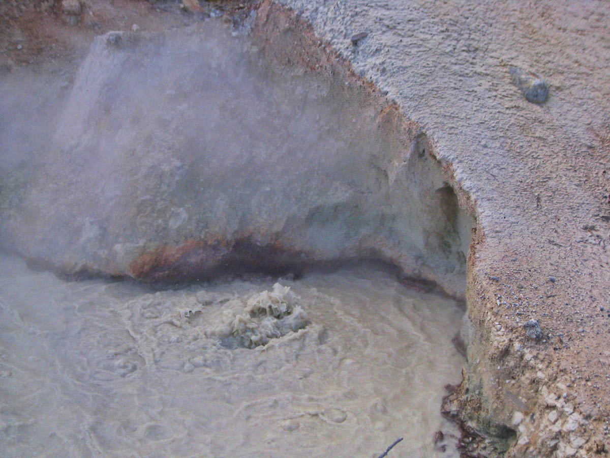
Boiling mud pot beneath fumarole.
I begin the one mile walk up to Sulfur Works. As I approach the column of steam, the smell of the sulfurous gases is acrid. The bubbling mud is fascinating, as I stand and ponder the paradox that this pot of boiling mud is hot enough to kill me, yet just six feet behind me is a bank of snow. Although I am disappointed that I cannot go beyond this point, I am relishing in having this area all to myself with no other tourists around. It feels surreal to stand on the overlook listening to the hissing of the steaming fumaroles and plopping of the boiling mud, while unable to see another person in sight.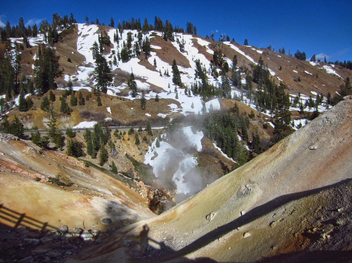
The low is predicted to be in the mid-30’s, so I make all preparations to keep the cabin warm. My batteries are notorious for tanking in cold weather, so I want to keep as much warmth from the sun in as possible, minimizing the draw on my batteries from the running of the gas furnace. There are tent campers in the walk-in campground next door, so I must observe “No generators between 8:00pm and 8:00am.” I plan to be gone in the Tracker before the generator window opens the next morning, so there will be no generator opportunity before I return in the late afternoon. I set the thermostat on 50, and add another blanket.
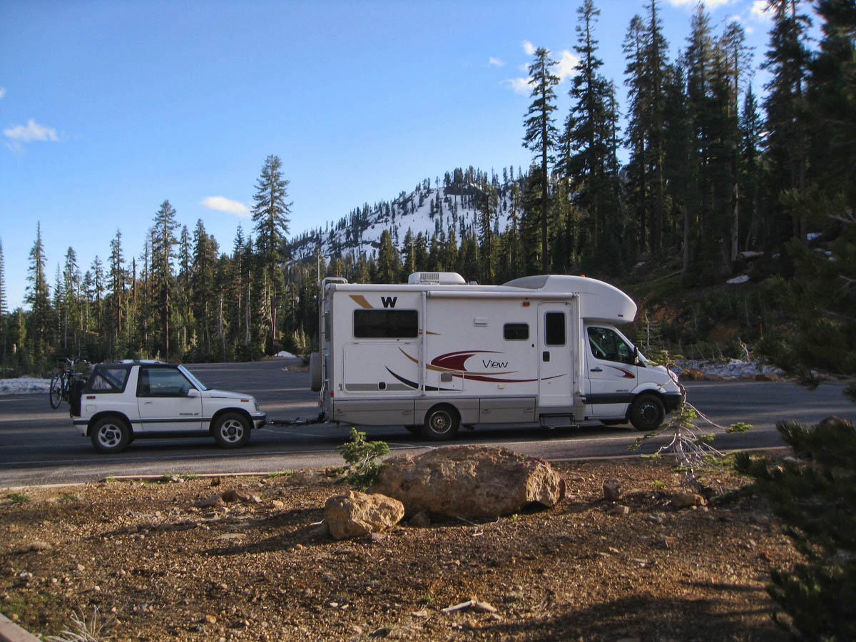
The next morning comes, and I am up with the sun in hopes of getting a few photos before clouds roll in. I detach my “Moon Rover Tracker” from the Mothership, and head out with my cryptic map to find the shortcut, “not recommended for RVs or trailers,” up to the northern entrance.
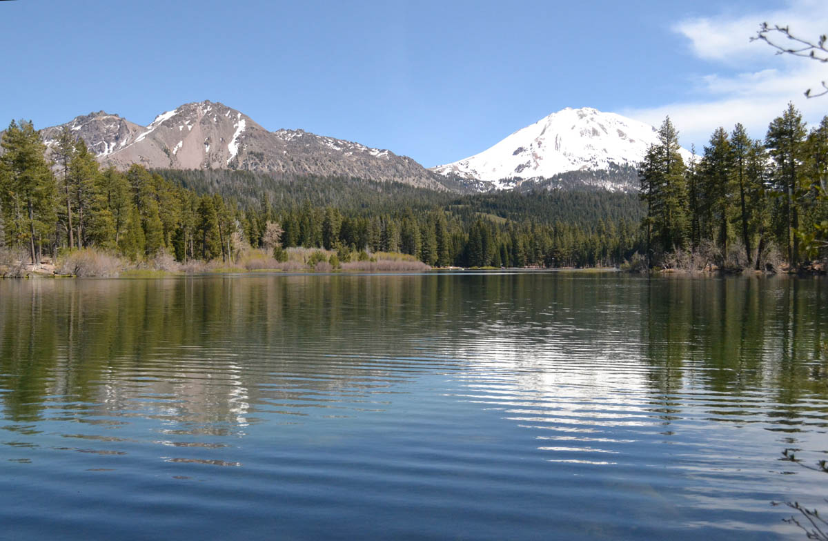
Manzanita Lake at the north entrance to Lassen Volcanic NP
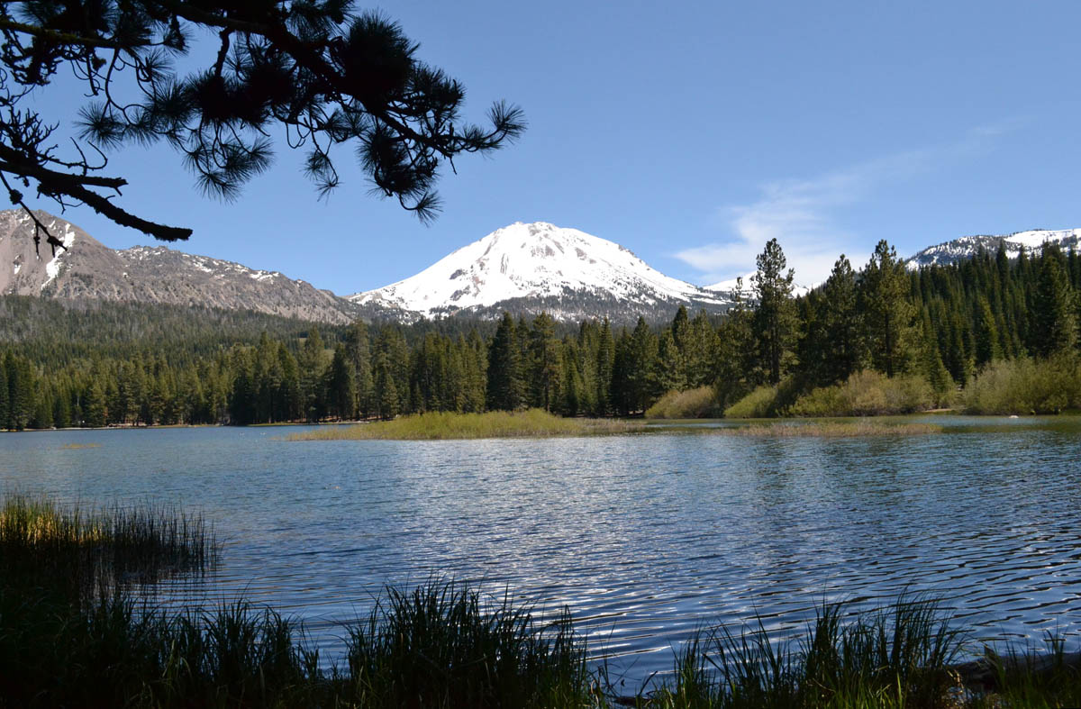
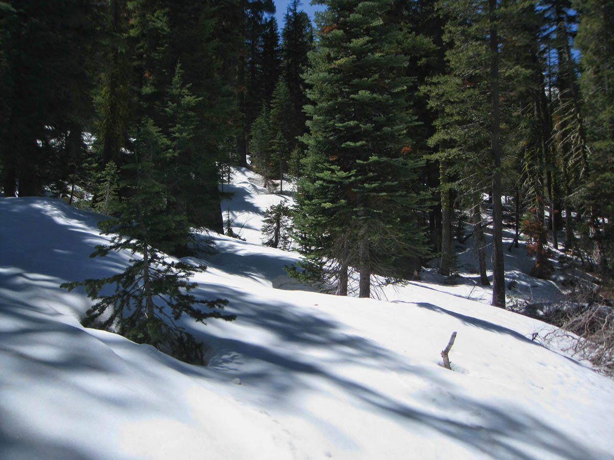
The road is a roller coaster of twists and turns, pot-holed gravel, and poorly marked farm roads. Though there are distances posted on the map I was given, I didn’t take time to add them up, so I am shocked when it ends up being 80 miles to the north entrance, and another 10 into the Devastated Area. Due to the sharp twists and turns, it takes me two hours to reach Manzanita Lake at the north entrance! I don’t typically like to drive the little Tracker so far — 190 miles RT!! But knowing the park road is closed seems to have put me on a mission to penetrate into the park as far as I can.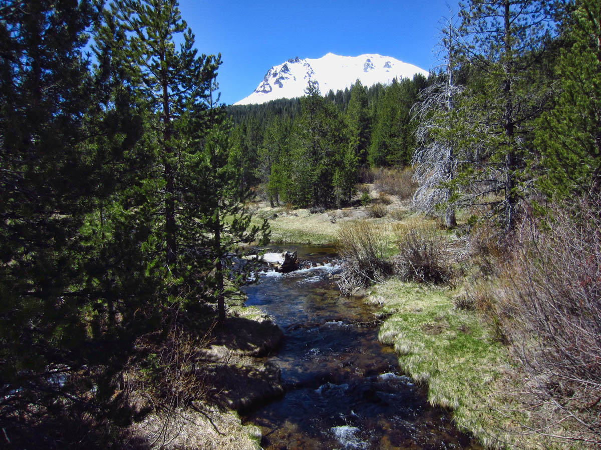
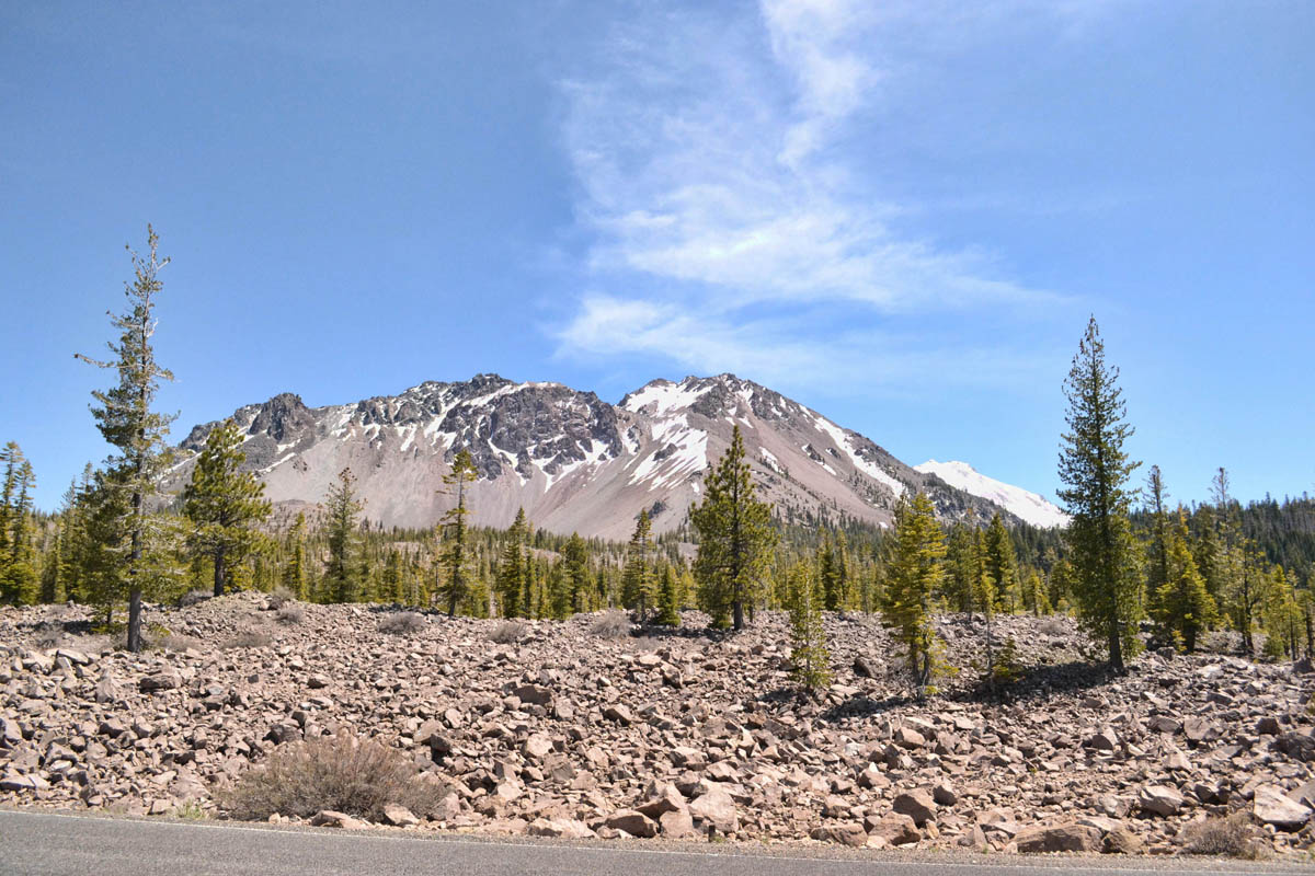
Most of the land surface in the park is made up of large volcanic rocks.
I first drive the 10 miles up to the Devastated Area, the furthest most point into the park from the northern entrance. The area marks the devastation from the 1915 eruption, when a blast hurled giant boulders into the air in a column of gas and ash that rose 30,000 feet, and could be seen 150 miles away. There are accounts on information boards along the Devastated Area Interpretive Trail from residents describing a wave of mud twelve feet high.
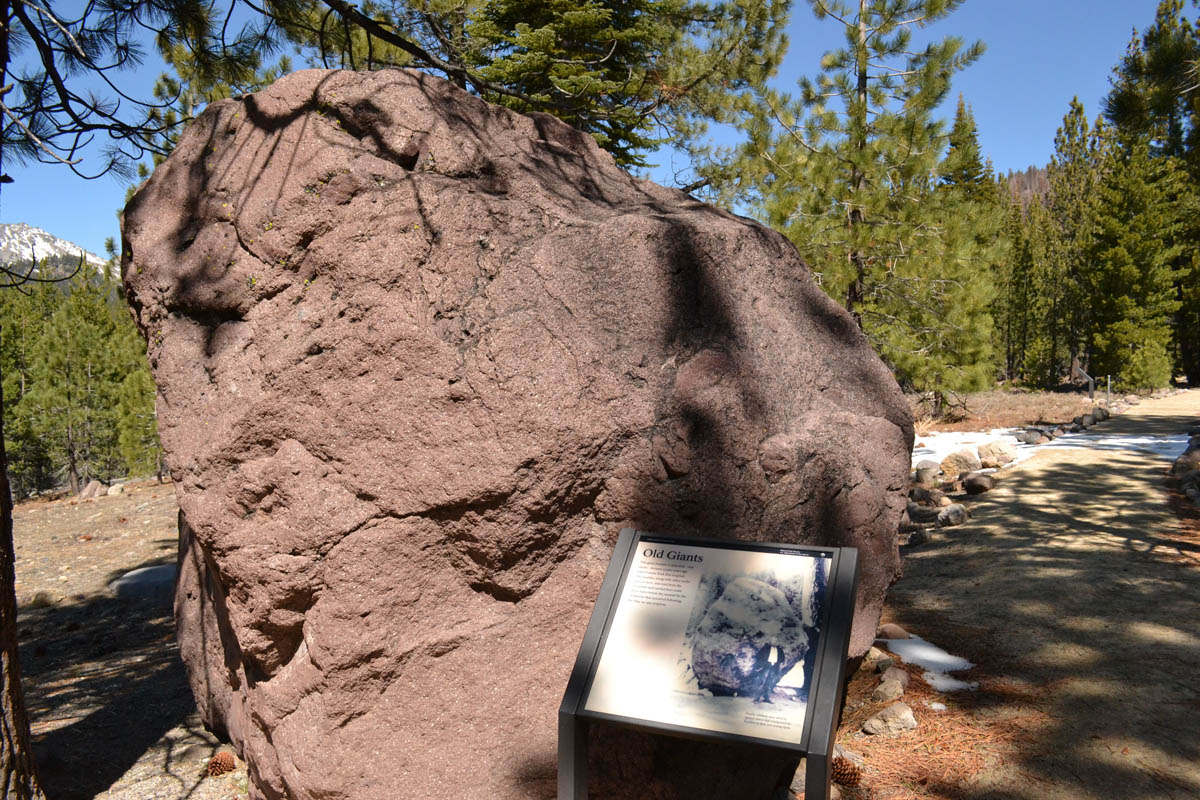
This rock was one of the “hot rocks” blown from the 1915 eruption. As you can tell from the information board photo, it is much taller than the average person.

View of Lassen Peak from the Devastated Area, scene of 1915 eruption.
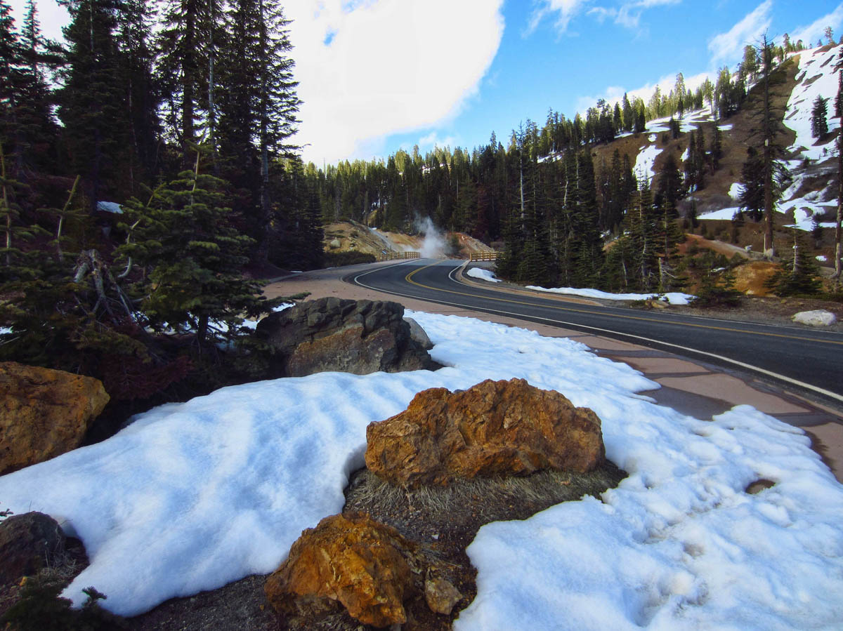
I start up the road for a couple of miles, but it only frustrates me considering the road is clear and dry, yet still closed off until next weekend.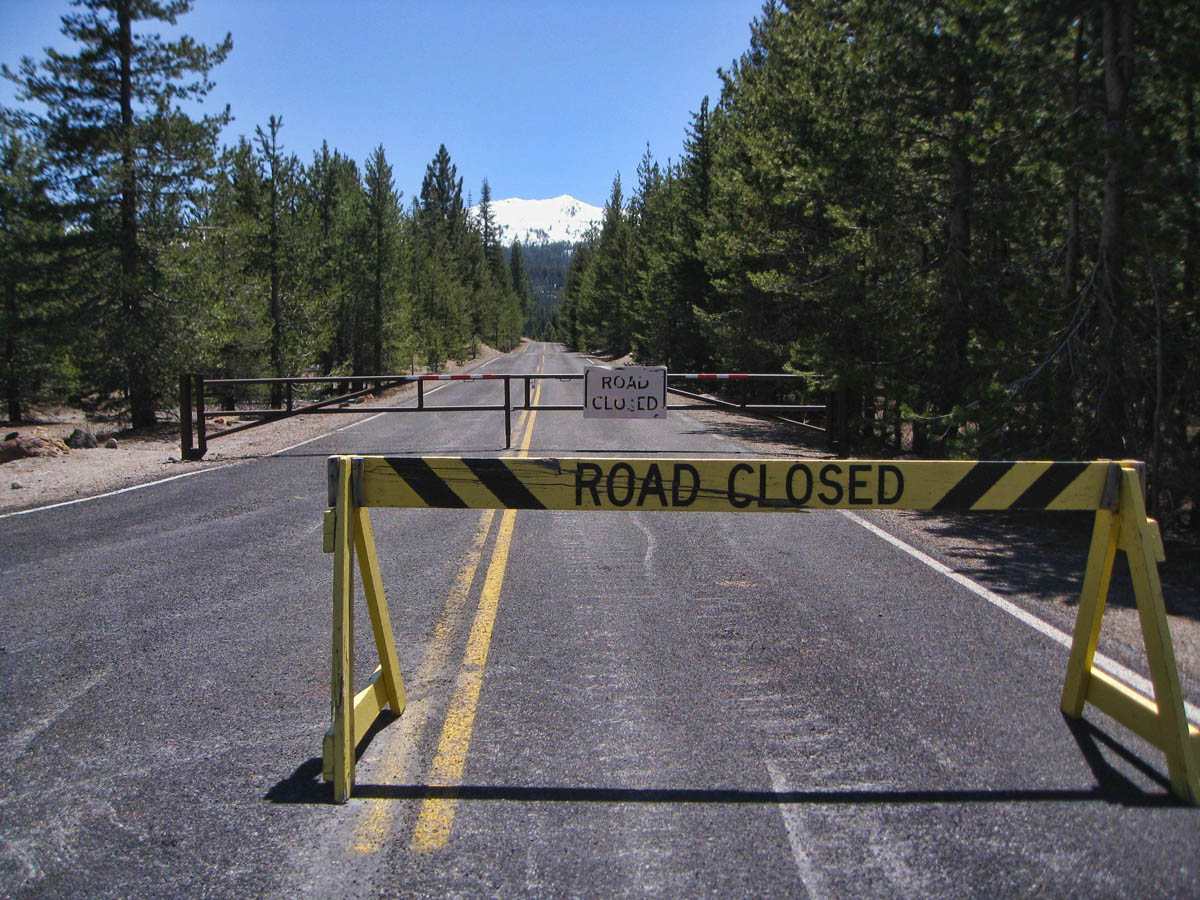
I get bored fast with my asphalt hike, and turn back when I notice a trail head for the three mile Paradise Meadow Trail, so I follow the trail. I hike for about a mile, when I am overtaken by a young couple. We pause for reciprocal photos, then they pass me and move on up the mountain at a fast clip. But soon I see them coming back. “We ran out of trail, and were starting to fall through the snow.”
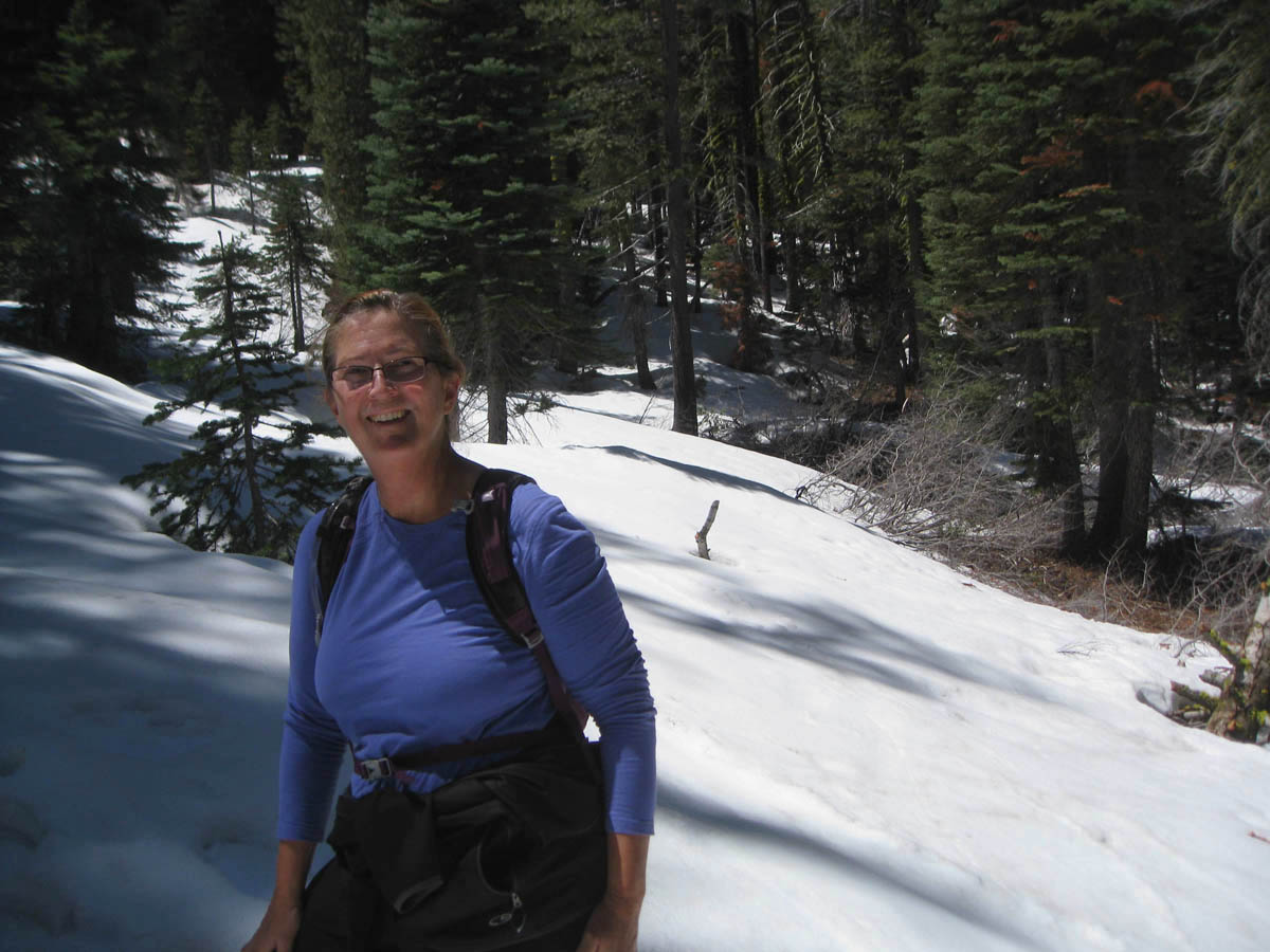
Snow-covered path up ahead to Paradise Meadow.
They decide it is not safe to continue, so I decide a snow covered trail along a ridge line with no cell service is not the best place for a solo hike. Like the main road into the park, the Paradise Meadow will have to wait for another day. I’m not that desperate…
Fabulous photos, as always!
I was there in 2004. The sulfur smell is still with me.
P.S. Moon Rover – Love it!
Having decided to continue up the coast we missed Lassen. Nice to see it through your eyes.
Gayle
Great pictures. How frustrating are those barriers, especially when it looks all ok, but then its what you cant see. Thanks for the road numbers as its nice to track you on Google Earth.
LOL at your determination to penetrate the park. But it sure looks worth it for the gorgeous pictures you got. Amazing to have it all to yourself too. So if I don’t want to work as hard as you did, I’ll remember to come just AFTER memorial day week-end when the roads are all open.
We have been known to turn on the RV for “boondocking” if the batteries aren’t strong enough. Not sure what’s the difference between running the generator and running the motor in terms of noise or pollution. Hopefully with the solar we will never have to do it again, IF they get it installed right.
“You’re not that bent on finding them are you?” (Words received reluctantly from a would-be love of yours from the past – LOL.) I sure hope you have plenty of blankets when you head off in mini-me and where the temperature can drop below freezing. Hey I am starting to sound more like your Mom every day 😉
You are really seeing some beautiful places. Wish I was there!!!
Interesting place! The boil mud pots remind me of Yellowstone. LOVE the lake views of Lassen Peak! Bet that was quite a treat to not have to fight crowds to take those photos! Wise move to not go further on that hike too– I was fearful just hearing that you’d driven the bratty Tracker 190 miles thru cell-less country! Good thing he behaved himself!
Gorgeous! That’s quite a bit of snow left up there. THat’s great you were able to fit the park in and have it practically to yourself!
Holy Hot Steaming Mud Pitts, Intrepid Suzanne…You really captured some great images. The curved park road heading into the steam, my favorite.
Box Canyon Mark
What a great posting. I loved both the pictures and the prose. I am going to have to extend my bucket list as you keep finding places which had not made the list till now. Glad that you turned back on that trail when the young couple told you of the conditions. It is good to accept that there are unwise risks and wait for a better day. Onward,
Allen
Kim — Yes, the smell is unforgettable. We are still teasing my 52 yo brother about throwing up all over Yellowstone when he was five…
Gayle — I think you were wise to bypass it, as it was a lot of work to see what I did with the road closed. Better to catch it in Sept, I think…
Dave — I love that you are following on Google Earth! If technology keeps up, I will have my own web cam and can wave from the road before long. 😉
Sherry — I did wonder if they would get me on “semantics” of idling the engine. But they were camped right alongside the parking lot, and as a former tent camper, I still can relate to annoying noises at 7am!
Don — We have one mother…that’s enough! hahaha!! Actually, daytime temps were beautiful, so it was only cold at night.
Lynne — Other than a little oil peeing on the driveway, the Bratty Tracker hasn’t let me down yet, thankfully. He thinks he gets a bad rap in his old age.
Lisa — Yes, I think the solitude in the park made it that much more special. Although I met a man from Cali on my hike around Manzanita Lake who said “This park is never crowded, that is why it is my favorite!”
BC Mark — Thanks for the very nice compliment! Always means a lot from my favorite postcard maker. So glad to hear you are feeling a little better!
Allen — Yes, I try not to push the boundaries too much, as I want to live to see more! haha! Thanks to you and Deede for following!
Another Park I bypassed ~ I almost went there but Yellowstone let me see the boiling earth and snow ~ what an experience. Yes… within just short distances, a boiling bursting … I had the strangest sensation when I was walking around the basins and geysers and whatever else they are called… the smells were interesting but the sensation?! I felt as though I was faint but I wasn’t… felt surreal
but then I’m old… love it, Suzanne.. as always … you write to take us along with you