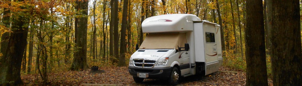
Having extended my stay in the overflow lot in McDowell for four straight days, I grow weary of the “day to day availability game,” so I decide to move over to Lost Dutchman State Park. I want a closer look at the Superstition Mountains I have been admiring from a distance all week. But being high season, Lost Dutchman is also full. So it is back in the overflow I go! Although this overflow lot doesn’t quite have the scenic ambiance of McDowell, it is still peaceful and quiet, with showers nearby.
Lost Dutchman State Park also happens to be just 10 miles from blogging friend John and wife BJ, so we make plans to meet for dinner the evening of my first day in the park. I met John in Zion, but this will be my first opportunity to meet BJ, so I am looking forward to the evening.
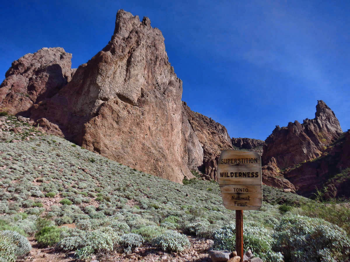
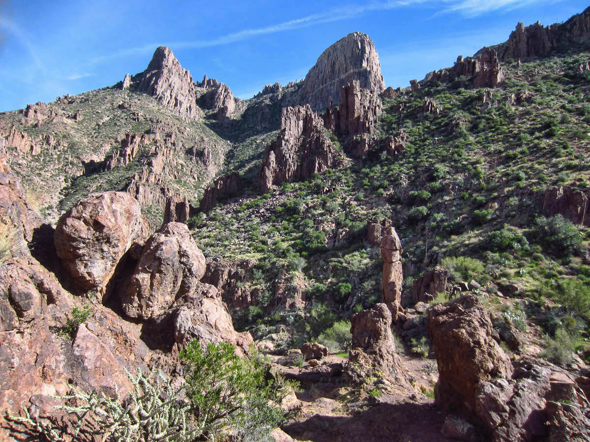
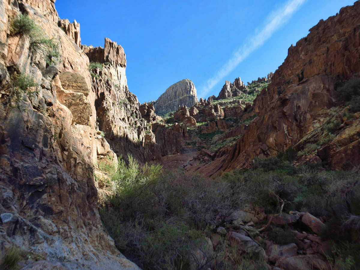
Superstition Wilderness, Tonto National Forest
There is a hike I want to do up “Flat Iron” mountain, but the weather forecast is calling for rain later in the week, so I decide to make a push for it before the skies open up. However, I can’t seem to get motivated to move away from the laptop before 10:00am these days, so it takes me a while before I get dressed, get my pack refilled, get to the Ranger Station for a trail map, chat with the volunteers, and finally get on the trail by….NOON??? Where does the time go? I need to be back in the rig by 4:30pm to get cleaned up in time to meet John and BJ for dinner.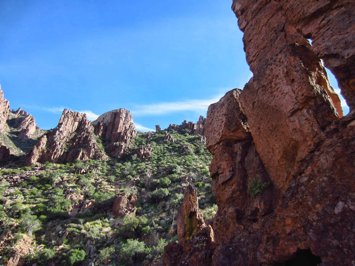
The volunteer lady at the Ranger Station cautions me that I am too late to make the summit of Flat Iron today. She tells me it takes her two hours to reach “The Basin,” alone, and that is only one third up. But I eye all her visible vital signs and decide she has at least 10 years on me, so this will be no problem for a Utah Uber-hiker like me. 😉 I figure two and a half hours up, two hours down, no problem.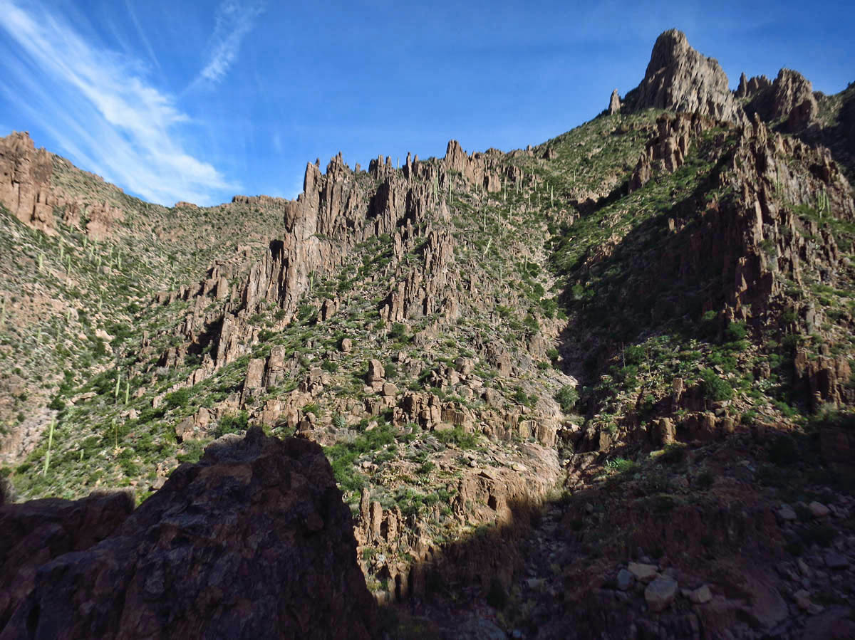
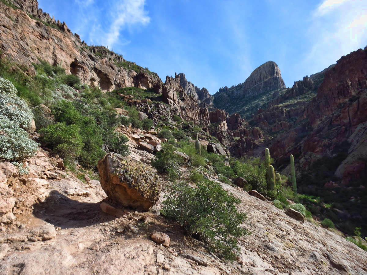
I head up the Siphon Draw trail as fast as legs and lungs will carry me, as it is a steady up, up, up. The path is obvious, but it is also rocky…not one I can speed up too fast, as it is littered with “ankle rollers,” so I have to take it a bit slower than planned. But soon, I am up into the “boulder region,” which requires a bit more navigation. Finally, I reach The Basin after only an hour. I perceive this to be a good sign, since the volunteer at the Ranger Station estimated two hours to reach this point.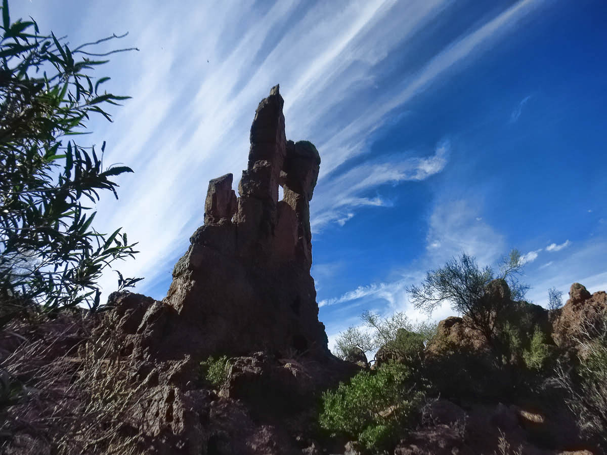
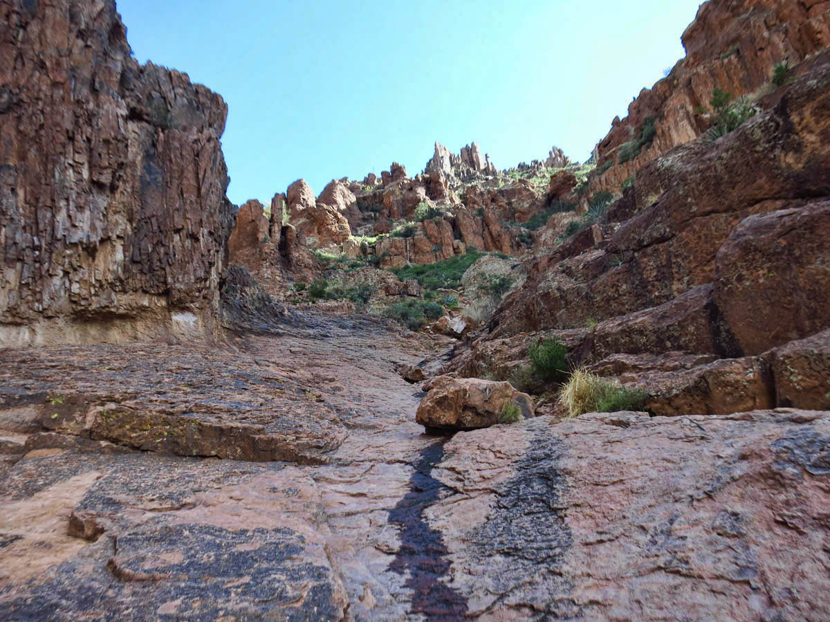
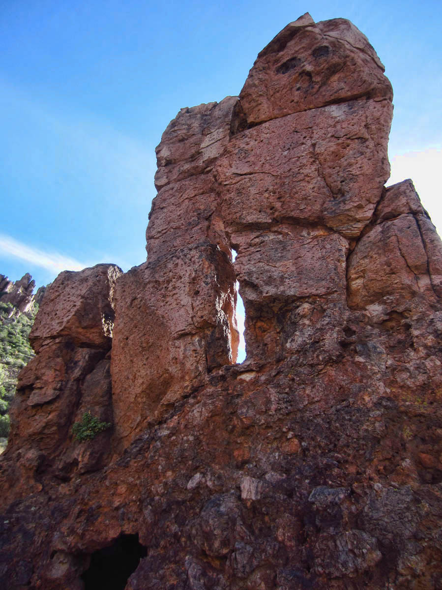
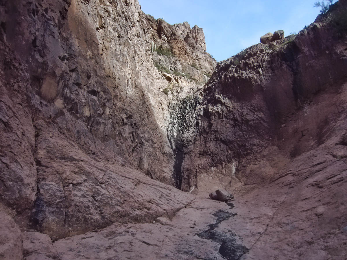
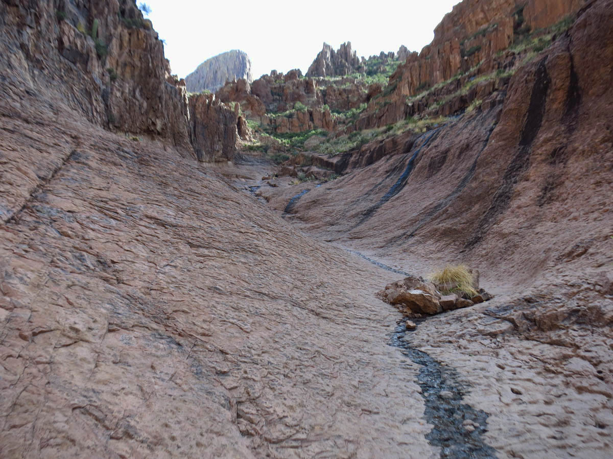
The Basin is “other worldly,” and now I see why the volunteer said “You will know it when you see it.” It is like a giant granite vessel, the sides rising up hundreds of feet overhead. The waterfall own the center is nothing more than a dark streak at this time of year, but even the dry rock is slick as polished glass in places. I see two people take a spill coming down, so I slow down even more. Steep, slick, and slow…I am reminded of my sailing instructor’s mantra when I used to race J24 sailboats…“Slow is fast!” 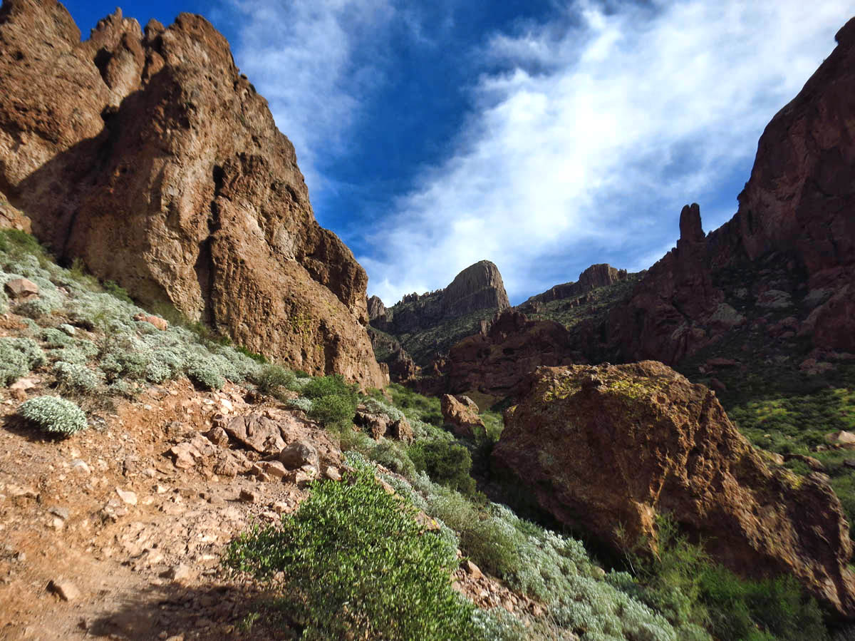
I stop in the Basin for a bite of lunch before I press on up the trail. According to the volunteer, “The trail is well marked by sky-blue dots. You won’t have any trouble following it.” As I leave the Basin, I see one blue dot the size of a baseball, and am relieved for reinforcement that I am on the trail. This will be the last blue dot I see for the remainder of the climb, and I can’t help but wonder if the volunteer has ever been past the Basin.
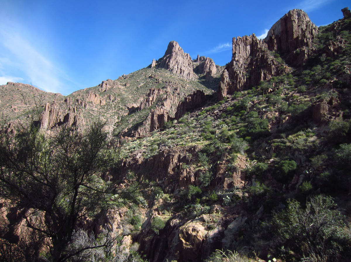
The Flat Iron trail turns out to be one of those climbs with “many ways to reach the mountaintop.” In other words, it is “A” trail, but it might not necessarily be “THE” trail. I make several wrong turns, and have to retrace my steps to find a path that stays within my skill level. Even though John’s wife BJ is on the Search and Rescue team for the Superstitions, I would really prefer to meet her over dinner rather than a stretcher. 😉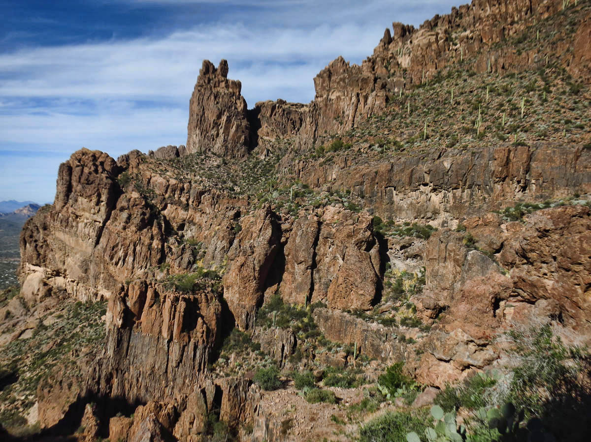
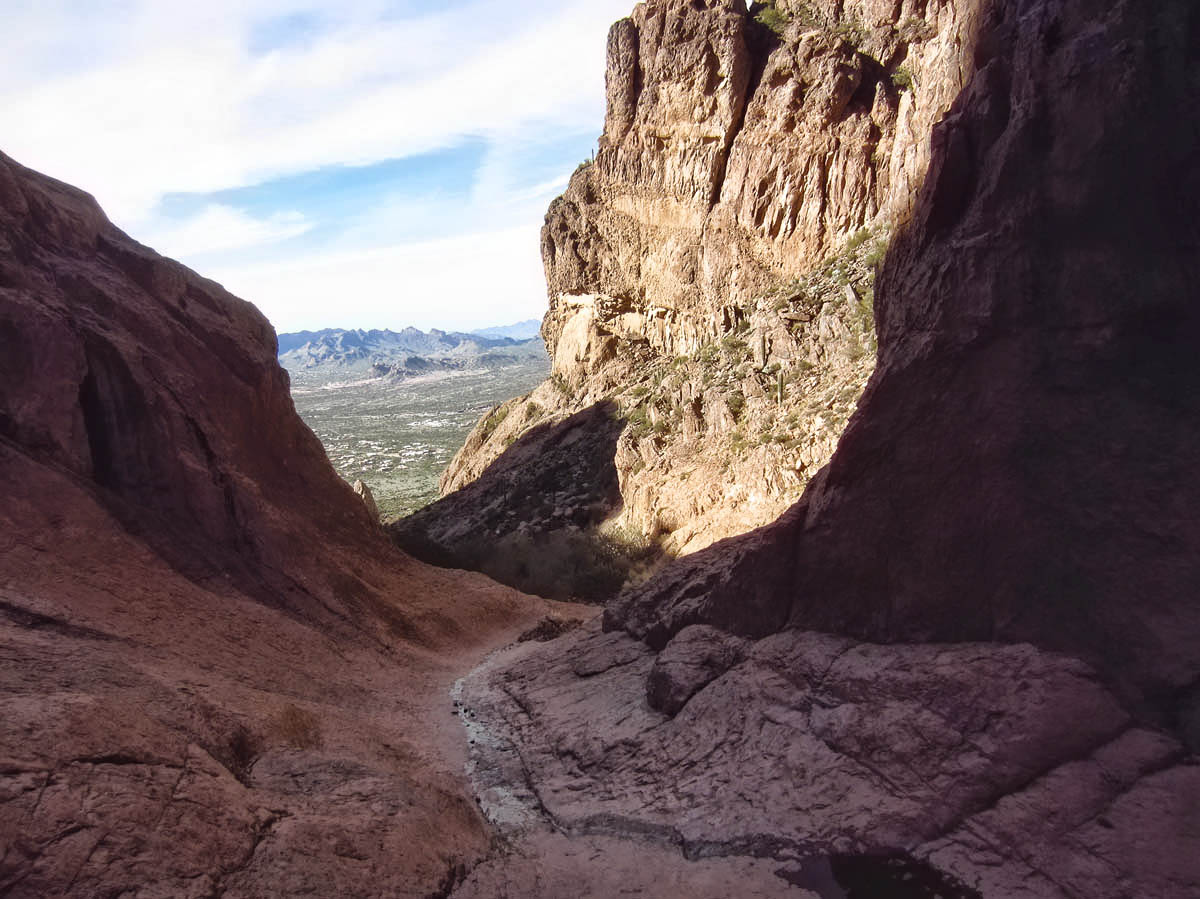
Finally, I make it to the saddle, which has involved a bit of scrambling. I head down the back side, which is now down, down, down. I look at my watch, and then I look up at the top of Flat Iron. I have only one hour left before my turn time, and at this pace, it is evident I will only make it far enough to frustrate myself. I walk for another half hour, but the trail is getting steep and rocky, and it is slow going. So I decide to turn around, and try for the summit of Flat Iron later in the week.
Flat Iron, in the center of the photo.
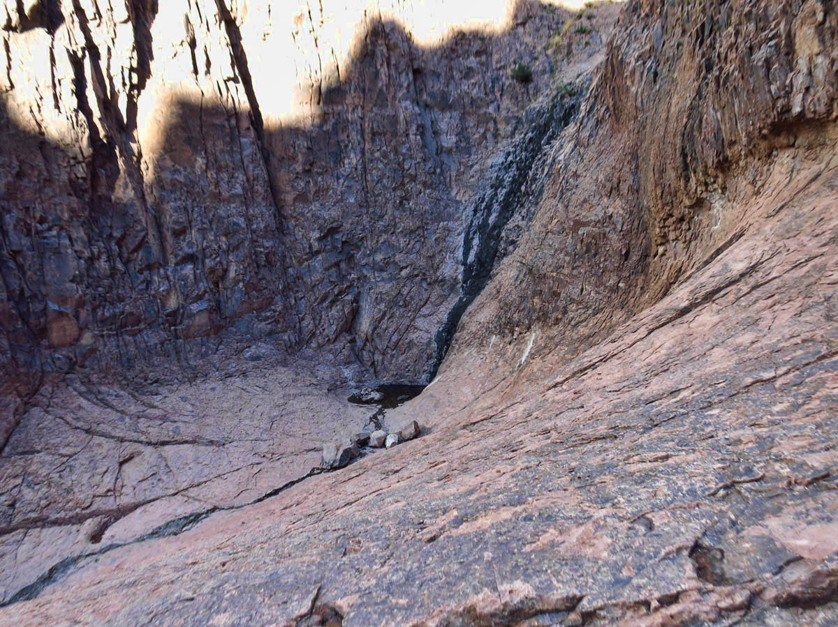
What is left of the waterfall in “The Basin” along “Siphon Draw” trail
The next day, clouds roll in, and it rains for three straight days. Not misty rain, mind you, but drenching rain! (Just ask fellow blogger Susan Wade who “waded” over to say hello while she was in the campground.) 😉
I lost patience waiting out the rain in a concrete overflow lot at $20 a night. Dinner with John and BJ was worth it. So the “I Climbed the Flat Iron” tee shirt will just have to wait for another day.
You went further than we did…we turned around at the saddle…decided to save our knees from further torture! You go girl!
So near and yet so far. I’ll bet you’ll make it next time. 🙂
Thanks for cutting the hike short. Loved our time over dinner! This way you’ll have an excuse to come back.
Now you really have me curious! This area of AZ will be new to us. I do believe we need to try this hike. Good to know we need an early start. We aren’t known for our sunrise starts:) I am anxious to try to make the summit. You sure did give it a good try in the short time you had. I had to laugh about meeting BJ for dinner rather than as a search and rescue member:) Too funny!
Your pictures and tale make us long to get back out west so we can do some hiking. We start heading that way next week and should be there by the end of March!
Beautiful pictures of a fantastic place.
Being retired means not having to do so many things against a schedule.
Just saying…
I was interested to hear about this hike and see your lovely photos. The last time we were at the Superstitions it had rained for several days and many discouraged us from attempting the hike. I definitely want this t-shirt before my hiking days are over. 😉