As anyone who has followed this blog knows, I suck at navigation. Whether by land or by sea, I have challenges. It’s not that I can’t follow a map, it’s more about not paying attention to where I am on that map. I tend to have a one track mind, and if I am talking or lost in thought, I can ramble for hours without paying attention to landmarks, mileage, etc. So my intentions lately have involved “being more aware of my surroundings.” Paying attention to landmarks around me, being able to transfer those landmarks to the paper map, and figure out how to get back where I started.

Fairy Duster Foreground
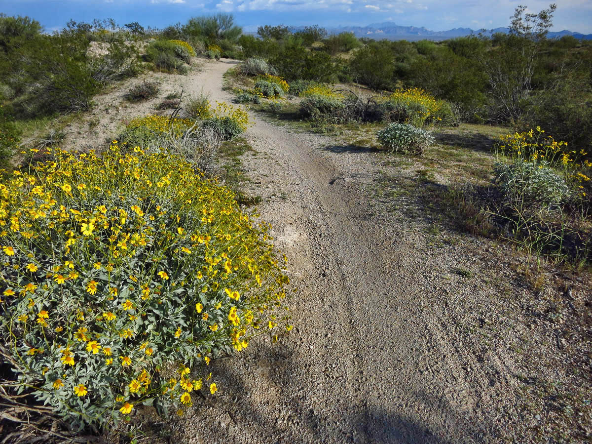
Happily hiking the Bluff Trail….until….
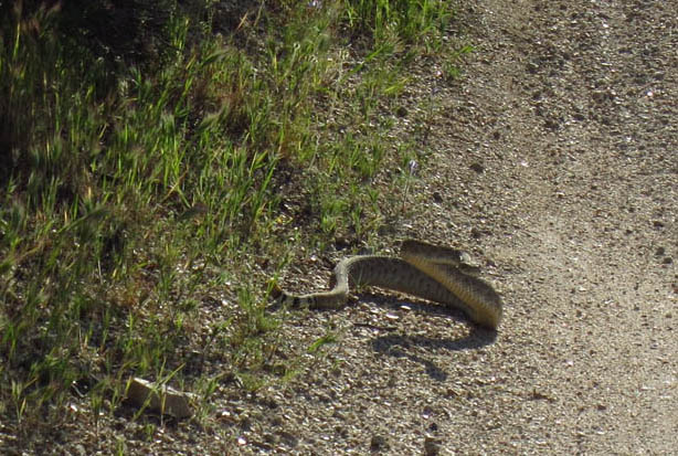
Guess it was getting on time to turn around anyway!
While in Mittry Lake, Jim was kind enough to loan me an android phone with the Backcountry Navigator app. I loved using it to map our hikes, but I seemed to use it more as a backward-looking tool. How far had we gone, how long did we hike, and how did our route compare to the previous day, since we were making up our own routes. Also, I found out repeatedly, it doesn’t really work well unless you remember to charge it the night before. 😉 And turn off the cellular functions. And turn on the GPS. And download the maps. So although it was a fun exercise, I didn’t have confidence that it would enable me to “stay found.”
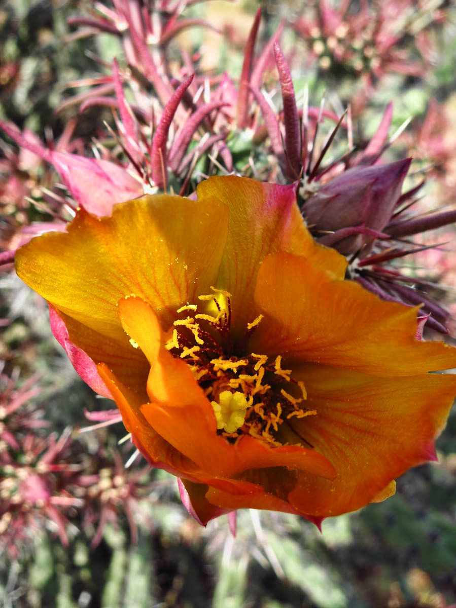
Cholla is beautiful but one time per year.

Lupine….A bluebonnet by any other name…
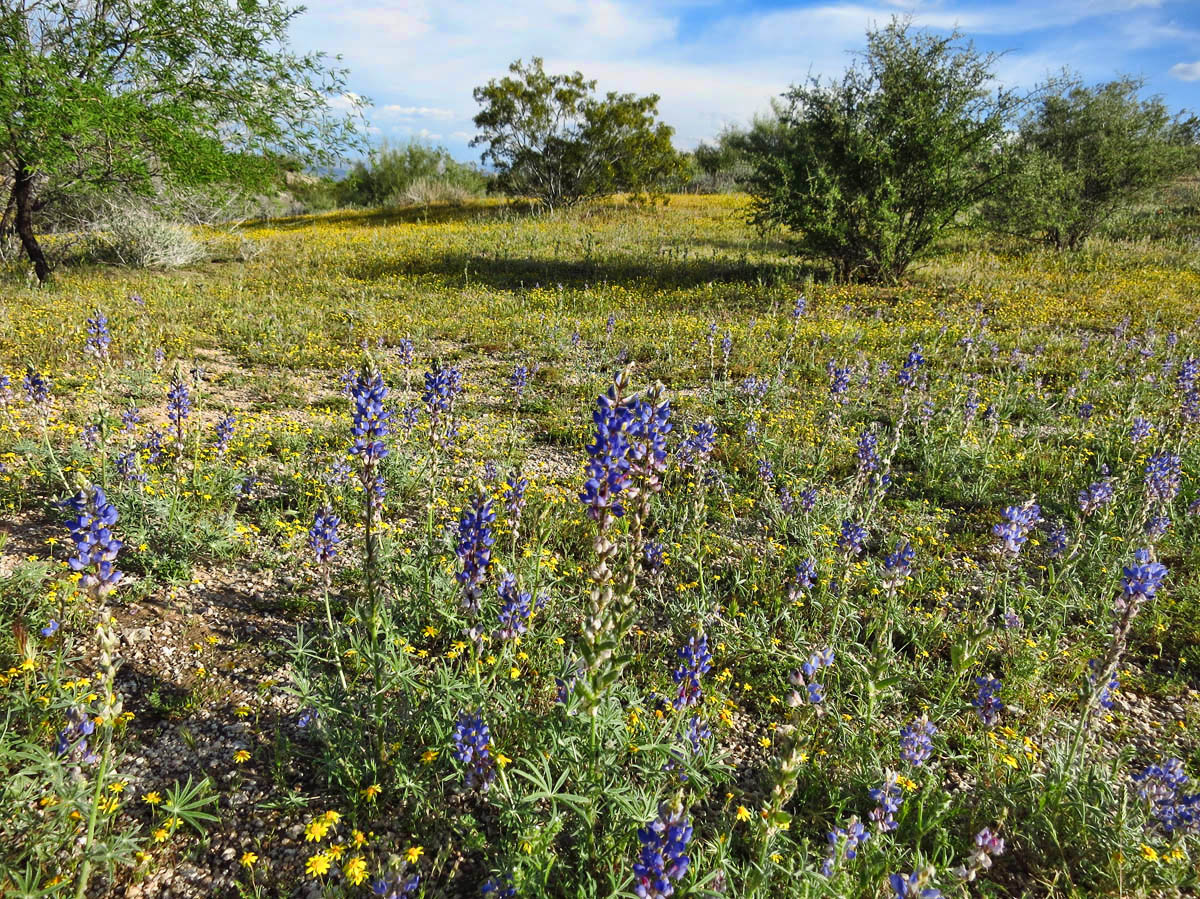
This McDowell field could be any field in Texas!
I am still considering a hand-held GPS, but those are a big investment to get the kind I want. After playing with the color touch screen of Backcountry Navigator, it’s tough to get excited about a toggle switch. But I am still shopping…
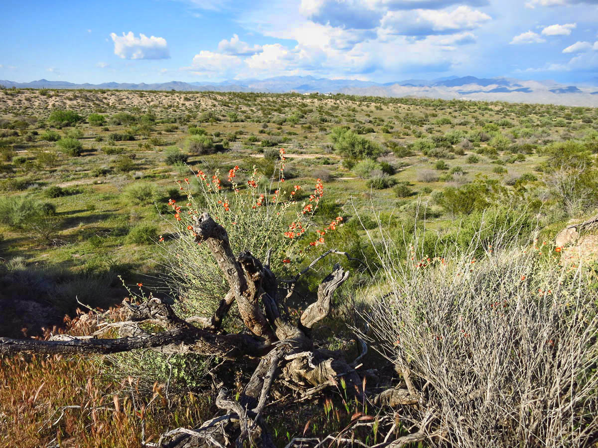
Beautiful orange globemallow on the Bluff Trail
The Black Canyon kayaking trip with John and BJ (who was at one time, a big backpacking enthusiast) also peaked my interest about backcountry camping. To be able to pitch our tents on the banks of the river with no other campers was nothing short of heavenly. I would like more of those experiences. So where does a left-brainer like me, who loves education and instruction go for this information? Well, REI of course!
Having a look at the REI website, I see that their Outdoor School offers a “Map and Topo Field Course” at their Phoenix location. To sweeten the deal, the course is being held at McDowell Mountain Regional Park, what seems to have become my “home away from home,” as this makes my third visit since December! I will be arriving on a weekend with no reservations during high season, but they have a nice roomy overflow section where I have stayed before.
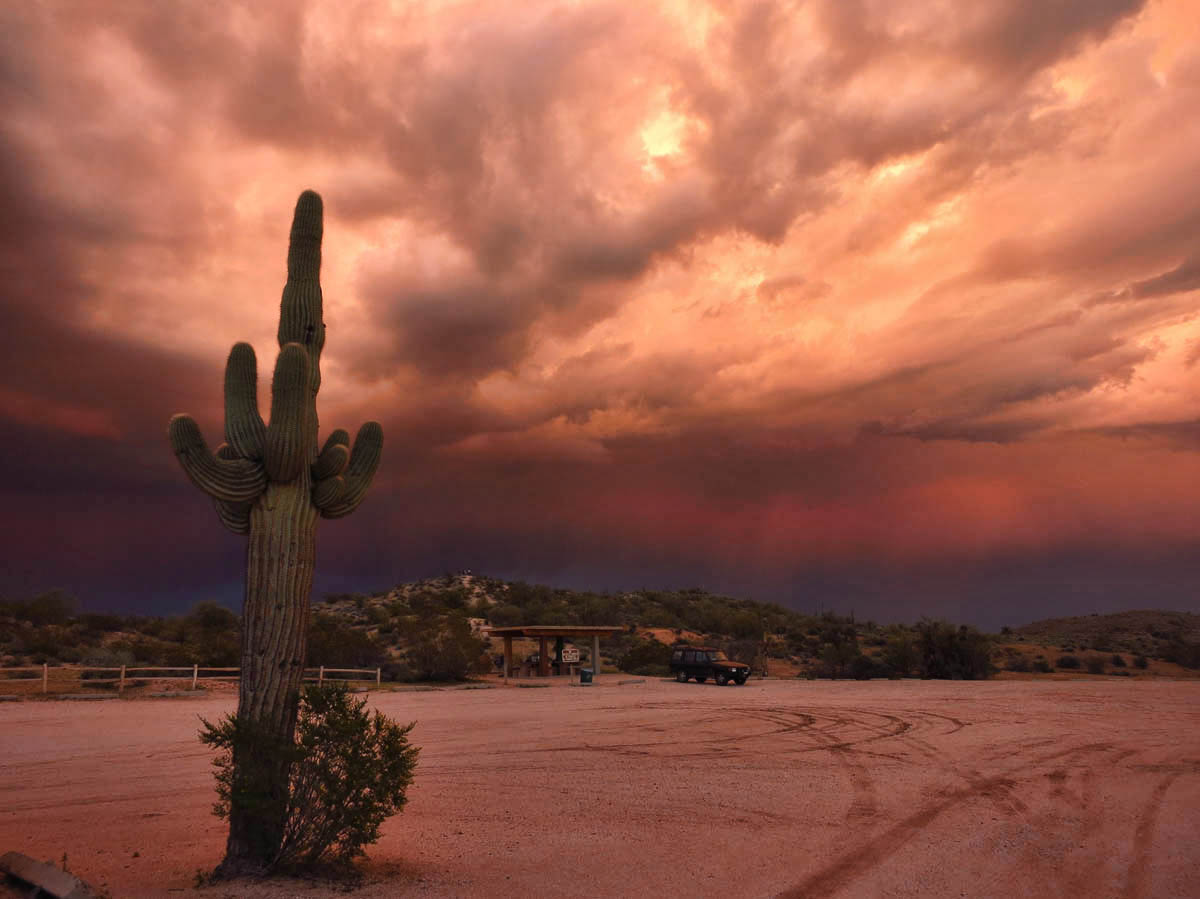
A crazy storm blows in just as the sun begins to set.
Note there is a rainbow over in the left amidst the storm clouds.
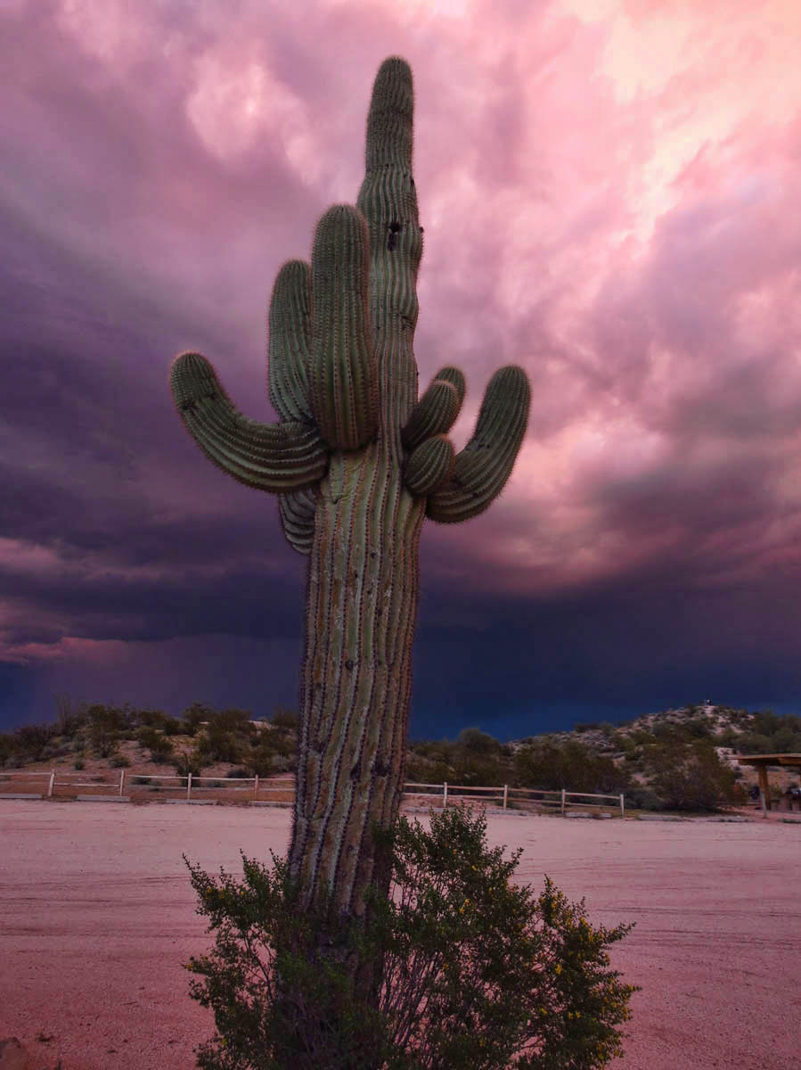
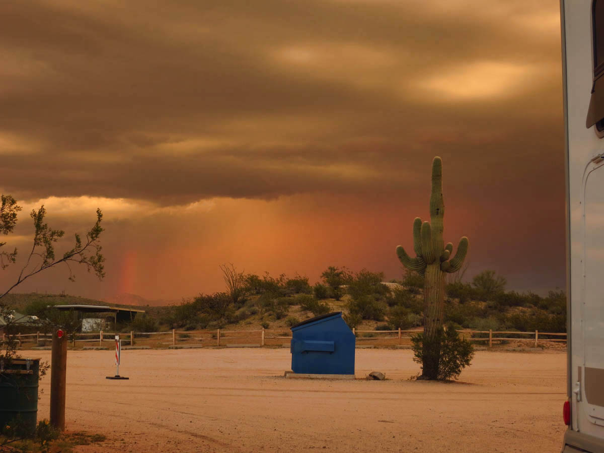
And this one is bringing hail! YIKES! Thankfully only small, but sounds like bullets on my skylight.
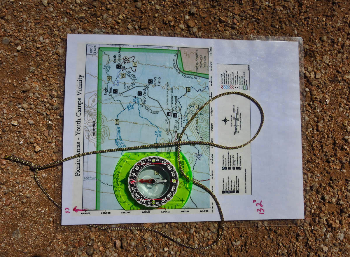
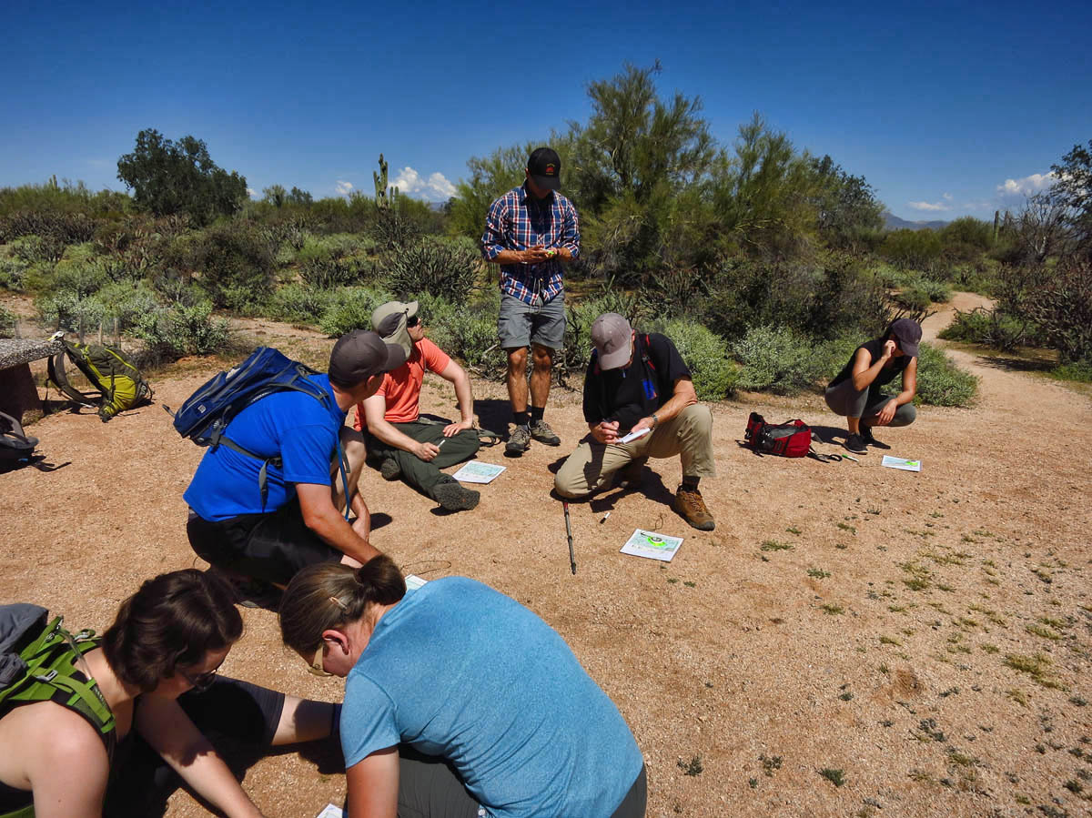
The course meets at the trail head of the North Trail, a 2.5 mile loop. There are eight other class participants. We are each given a laminated map, a marker, and a baseplate compass, and off we go in lock-step down the trail.
First, we focus solely on the map. One of my objectives is to learn to read and interpret topo lines, and recognize the contour intervals. McDowell is the perfect venue for this, as there are quite a few hills all around us to be able to orient ourselves according to the map.
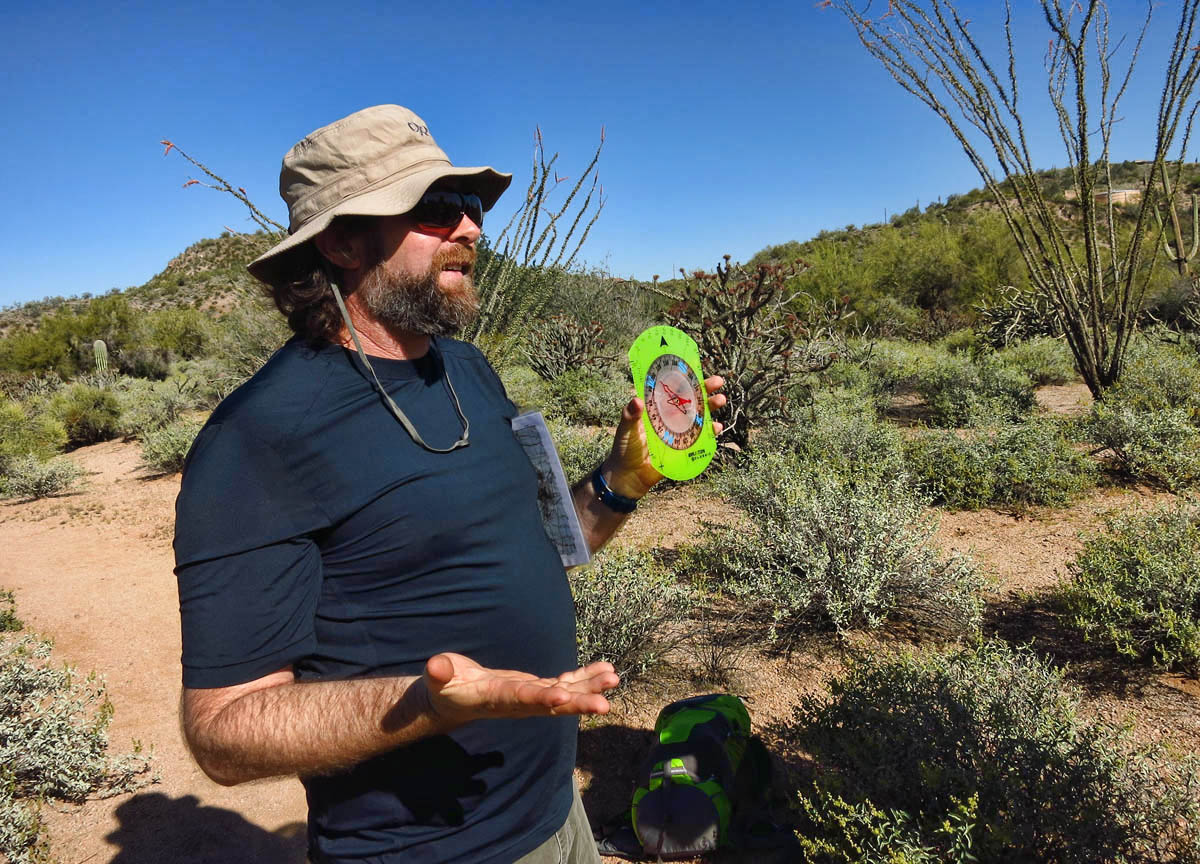
John from REI Outdoor School demonstrates compass concepts.
Next, we begin the compass work, with instructions on how to adjust for declination, the difference between True North and Magnetic North. I get this part, no problem, after my sailing Coastal Navigation courses. We take several compass headings, and discuss methods of navigation when the compass is the only available tool.
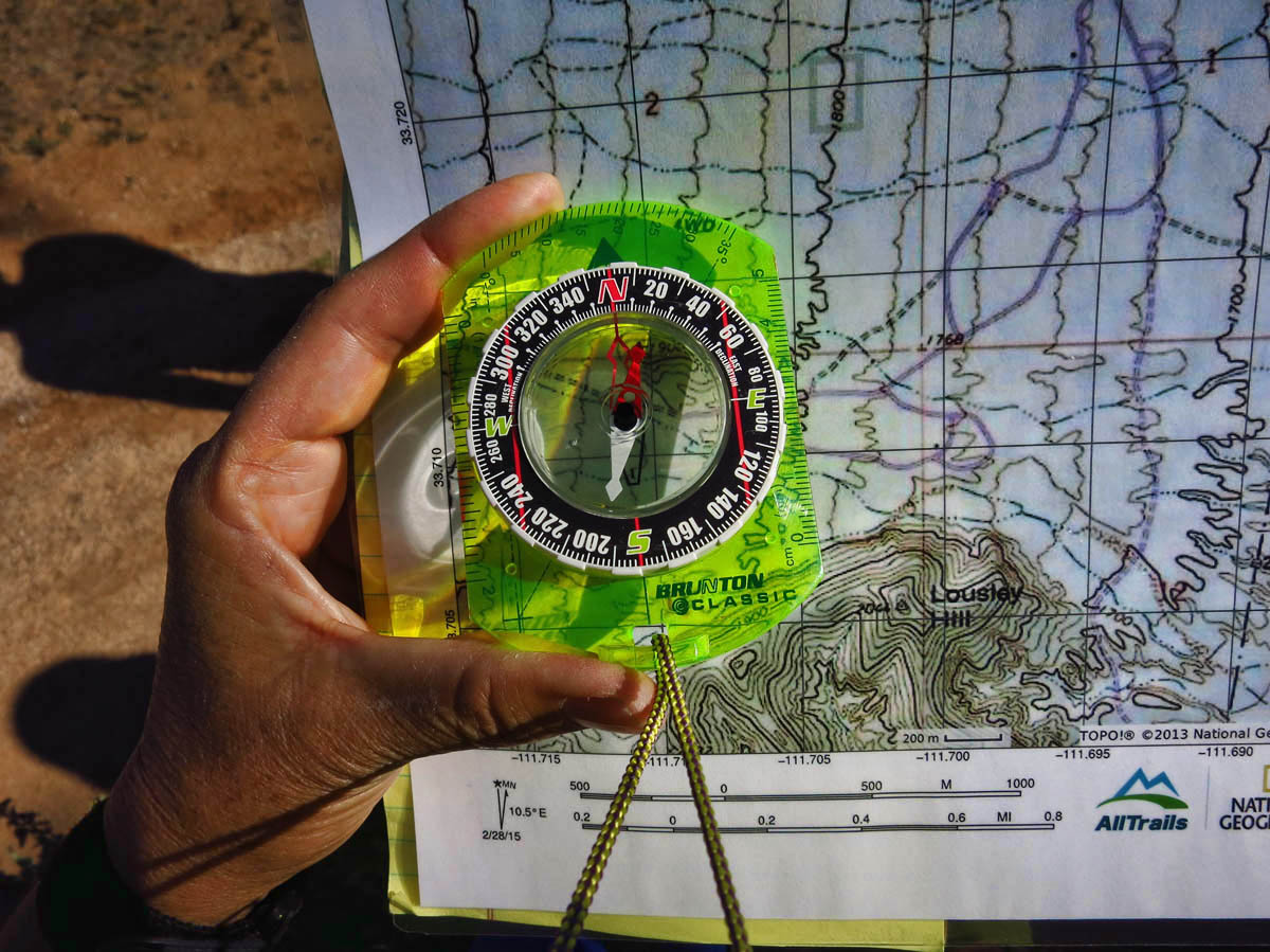
Orienting the map to our location.
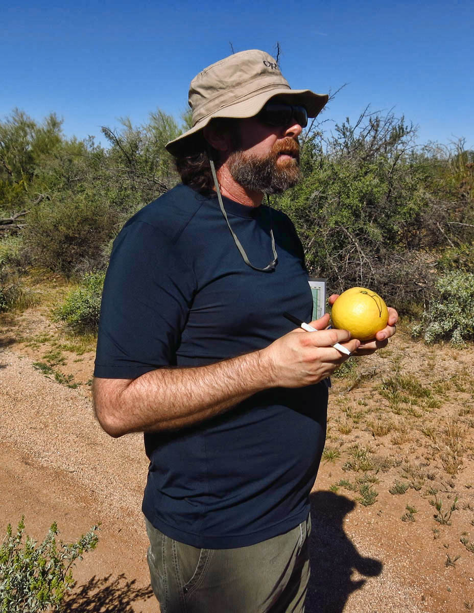
John demonstrates True versus Magnetic North, and declination on his lunch.
Red Fred is in his Shed! My work is done here.
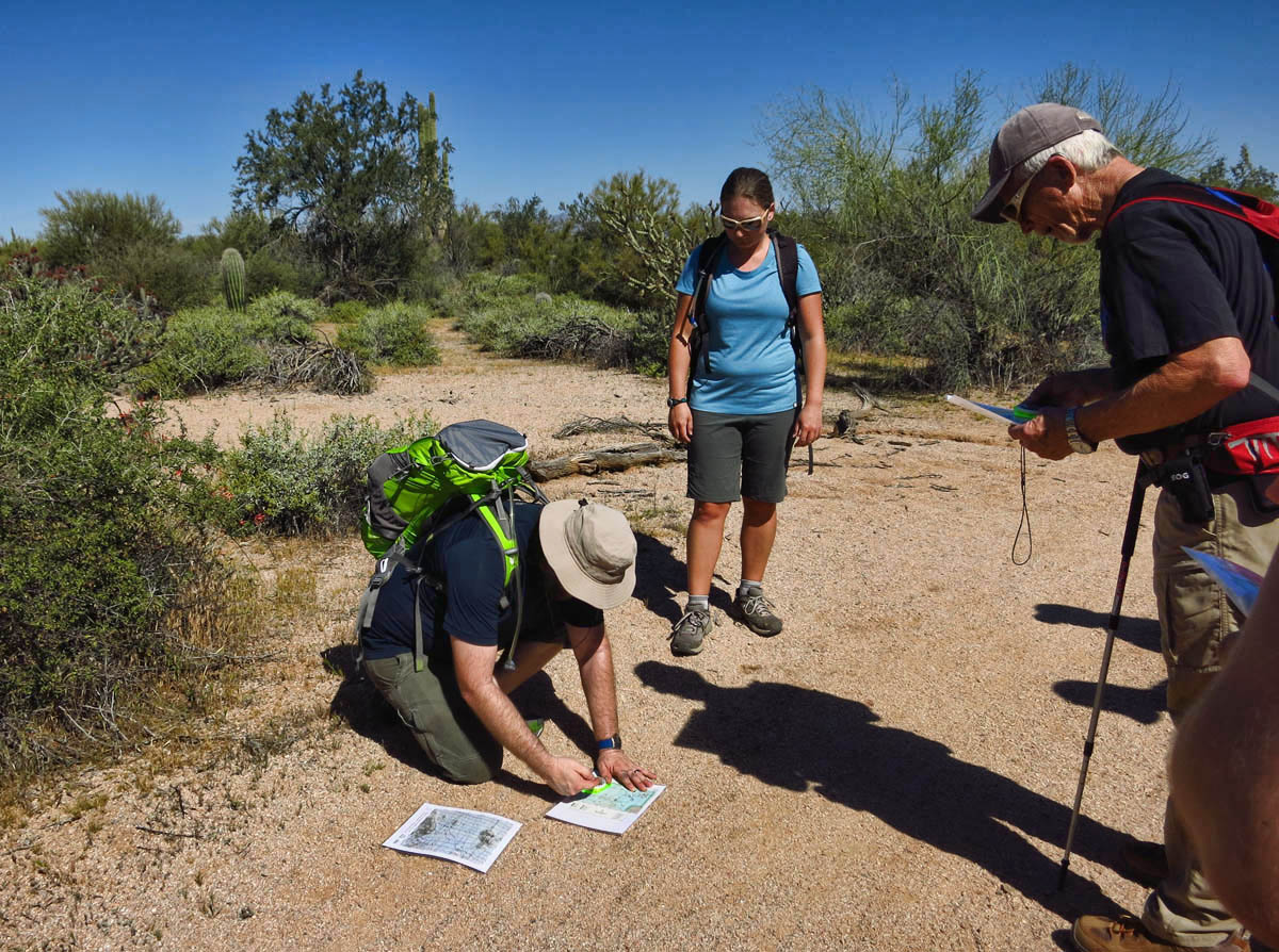
Finally, we come to Triangulation, which is the toughest part, but also the part I need most…being able to find myself! We practice finding two points on the map such as nearby hills, taking the headings, and finding the spot on the map where those two intersect, i.e. “staying found!”
Wonder what the oncoming hikers think…”What did they lose? Oh, themselves!”
It’s a helpful course using terms I can remember, like “Put Red Fred (compass needle) in his Shed (outline of orienting needle.) The REI guys are interesting and engaging instructors, so it also ends up being a fun way to spend a Saturday in the park!
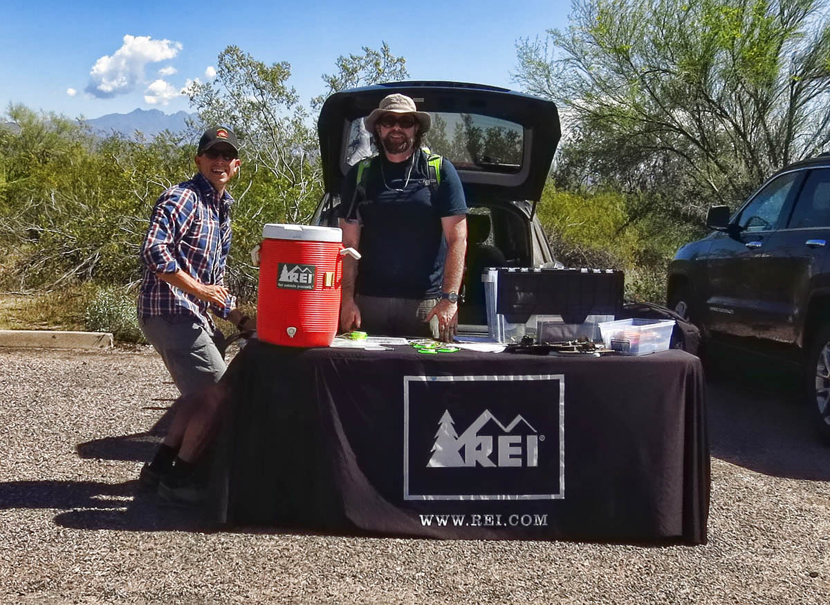
Stephen and John, instructors from the REI Outdoor School
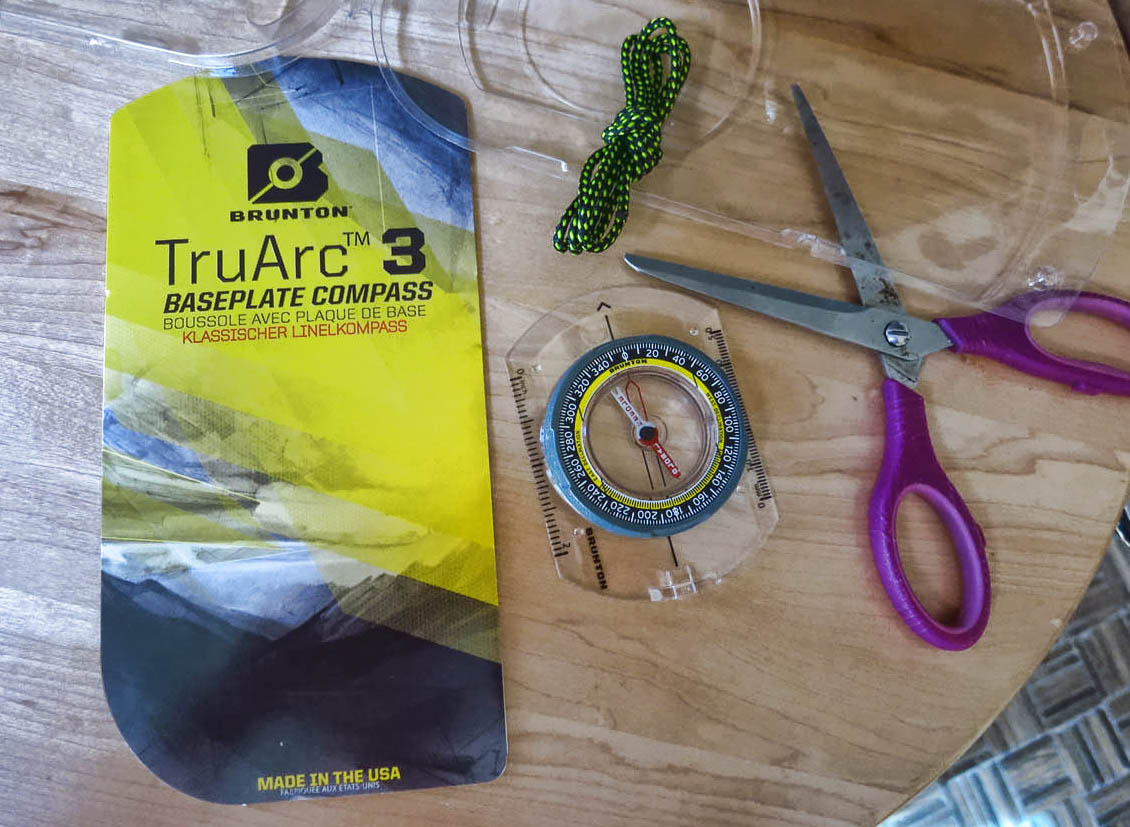
I now own my own “Red Fred.” Which I will attempt to place in his “shed.”
But I had another motive for coming to Phoenix! My dear friend and sailing pal Nancy was in town for a business conference. I have spent more hours on a boat with Nancy than anyone else. We spent the day together swimming in her resort pool, soaking in the hot tub, drinking Bloody Marys, riding bikes to lunch and back. We laughed about old times, and talked about our dreams for more fun times to come. I love my friends I have met on the road while full timing for the past two years. But there is no substitute for spending time with someone who has known you for almost twenty years. A great “True North” orientation in of itself!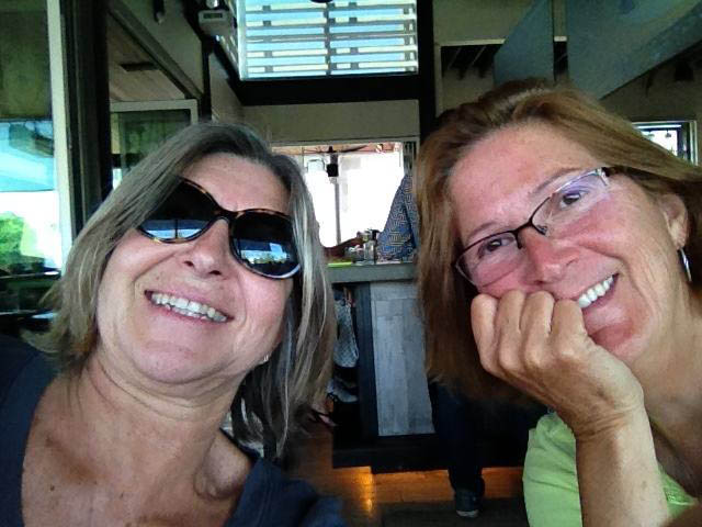
You are becoming a regular at McDowell, especially funny after Mark’s recent rant. I remember, vaguely, learning these orientation skills when a girl scout. I love paper maps to this day and see no use for a GPS that may or may not work in some of the places I travel. Getting pretty warm down there?
Good stuff all around! I’ve taken a couple of orienteering courses and found them so intriguing and always useful. Not that I don’t get lost plenty :-} I bet the map-o-phile (cartogrophile ?) in you was happy.
LOL! And I always say to myself “Put Fred in the shed”. Though not aloud, as I get enough weird looks when I take a compass bearing at trail heads and parking spaces in unfamiliar cities.
Can we please do a mind meld to suffuse that information into my brain? I got lost this morning on my way to the bathroom in my own house! ;->
Virtual hugs,
Judie
That snake must have got the adrenaline flowing!
That is a course I could use. I can’t count on Runkeeper (though I do like that it maps where you walked so you can use that to find your car if need be), it wasn’t reliable in the deep canyons of UT.
LOVE those cloudy evening shots!
Good to hear you won’t be lost anymore. Nice to have some quality time with your friend. Love those sunset wild shots, great colors.
Boy am I your twin in the directions and lost department. I’ve been looking for an app or a GPS that I could use for both hiking and kayaking especially in mangroves so when you make your choice PLEASE let me know. This looks like a great course. My problem would be remembering it all next time I’m out there alone. I’m great in class. HA! Not much good on the trail.
Smart lady to take an REI course! What perfect timing!! Now I hope you can get Fred in the Shed. Keep us posted on how Fred is doing:) How nice to catch up with a dear friend. Glad you had a nice visit:)
We should have a mini-course at happy hour when we see you next:-) It would be nice to feel more confident out on the trail for those times when our phones aren’t charged or we forgot to start recording a track on Backcountry Navigator.
Keep practicing and then bring Fred along in September!
Excellent! Compact binoculars next?
As always great pictures! I especially like the sky scape shots. Also love the idea of taking the REI class, I am going to have to look into one in my area.
The storm pictures are amazing! We use to do Orienteering and always take a compass when we hike. We’ve had batteries die and lost satellite connections on both a handheld GPS (older model) and with the phone apps. We tend to make our own trail at times and just feel more safe and comfy with the hood old fashioned compass. But we still enjoy playing with GPS.
Luckily I did maps and map reading in school as part of the geography syllabus. It’s been invaluable and I think everyyone who spends lots of time out doors walking or cycling should have basic map reading knowledge. I can sit down with an Ordance Survey map and read it as I would a book, in my mind I’m walking or cycling the roads and paths.
Sounds like a perfect course and another something I too need to look into as I can get lost in the woods way too easily – no sense of direction!
I need this course having the sense of orientation of a gnat. Love your storm pics…just love them. So dramatic!
Nina
Good to know about the REI course which I may have to do also. I’ve just got lost the other day and ended up in someone’s back yard instead of the rv park in Tucson , AZ. . Fabulous storm shots !
First off, those storm photos are just fabulous! I could use this course as I am missing that vital chip that leaves me severely directionally challenged. Good luck getting Fred in the Shed. If you are anything like me Suzanne, he will take some coaxing! 🙂
So funny that you posted about this as it’s on my list of things to do for spring. The REI in Illinois hosts one of these orienteering courses also but not in the winter! I’ll have to drive over an hour to get to it, but on the bright side it will be in a park I’ve never visited so I won’t be apt to cheat by knowing where I am. Beautiful stormy skies.
I once was lost, but now I’m found
Was blind, but now I see
I once was told by a student whom I was attempting to teach the skills of utilizing a map and compass that he knew all that needed to be done was follow the arrow on a compass then when he wanted to return he went opposite the direction of the arrow. I guess that my way was too complicated for him.